












Rare Old Map of Thailand & Myanmar by Stanford, 1883: Isthmus of Kra, Kraburi R., Lang Suan R., Chumphon, Ranong
Restored in our London workshop from the original 1883 map and printed to museum-grade archival standards. Full description
The Collector’s Offer
Choose two eligible works and receive 20% off both. Choose three and the lowest-priced one is complimentary, a maximum saving of 33%.
Mix and match eligible standard maps and fine-art prints. No code is required; the offer is applied automatically at checkout.
Standard made-to-order configurations are included. Bespoke sizes, personalised designs and commissioned work are excluded.
Need delivery to different addresses? Contact us before ordering.The Collector’s Offer
Choose two eligible works and receive 20% off both. Choose three and the lowest-priced one is complimentary, a maximum saving of 33%.
Mix and match eligible standard maps and fine-art prints. No code is required; the offer is applied automatically at checkout.
Standard made-to-order configurations are included. Bespoke sizes, personalised designs and commissioned work are excluded.
Need delivery to different addresses? Contact us before ordering. Restored in London • Printed and framed in the UK
Restored from the original 1883 map and printed to museum-grade archival standards. Full description
Choose your size
Choose your finish


(More info)
Gift message & custom finish

If you want to add a gift message, or a finish (jigsaw, aluminium board, etc.) that is not available here, please request it in the "order note" when you check out.
Every order is custom made, so if you need the size adjusted slightly, or printed on an unusual material, just let us know. We've done thousands of custom orders over the years, so there's (almost) nothing we can't manage.
You can also contact us before you order, if you prefer!
Own a piece of history
8,000+ five-star reviews

Entitled "Stanford Map of the Isthmus of Kra, Thailand (Siam) and Burma," this 1883 production concentrates on the narrow neck of the...
Continue readingEntitled "Stanford Map of the Isthmus of Kra, Thailand (Siam) and Burma," this 1883 production concentrates on the narrow neck of the Malay Peninsula where two seas nearly meet—the Andaman to the west and the Gulf of Siam to the east. Stanford presents a thematic synthesis rather than a mere coastal chart: rivers, mountain chains, and jungle tracts are organized in crisp, color‑coded fields, with a distinctive pink wash picking out key land regions for immediate legibility. Across the surface, careful notes alert the reader to sandbanks, shallow bars, and treacherous river mouths, while depth figures stitch the coasts with empirical precision. Topographical cross‑sections translate the daunting relief into profiles that can be measured, imagined, and, crucially, planned across—an indispensable cartographic toolkit for anyone contemplating a passage over the Isthmus of Kra.
At the helm is Edward Stanford, Victorian London’s preeminent purveyor of geographic intelligence, whose house became synonymous with practical accuracy in the service of science, trade, and statecraft. Stanford’s genius lay in orchestrating disparate sources—official boundary commissions, naval soundings, and the testimony of itinerant surveyors—into a lucid whole. Here he addresses a frontier of intense Anglo–Siamese interest, where imperial administration met tropical complexity. The international boundary between British Burma and Siam is plotted with purposeful clarity, and the distribution of British police posts along that line speaks to the rhythms of oversight on a difficult edge of empire. Even seemingly incidental annotations—such as the anchorage of H.M.S. Nemesis in 1859—double as archival breadcrumbs, rooting the map in a chronology of visits, patrols, and negotiations that shaped this littoral.
Hydrology and hazard are the map’s narrative spine. The Kraburi River, a sinuous corridor between steep, forested hills, carries a stern marginalia: warnings of shifting channels, concealed sandbanks, and perilous shallows capable of trapping unwary craft. Similar cautions accompany the Lang Suan River on the Gulf side, where deltas and tidal mudflats complicate approach. Depth soundings and shoal delineations calibrate these dangers, converting anecdote into navigational counsel. Settlements are not mere labels but waypoints in this choreography of water and land: Ranong (Rehnong) on the Burmese shore, and, across the divide, Chumphon and Lang Suan anchoring Siam’s coast. Jungle and mountain symbolization tightens over the backbone of the isthmus, reminding the reader that overland passage could prove as vexing as coastal pilotage—especially in monsoon season, when rivers rise and tracks dissolve.
Stanford’s inclusion of cross‑sections is both elegant and utilitarian. One profile traces the route traditionally taken by elephants between Kra and Chumphon, its gradients revealing where loads must be lightened and escorts doubled; another runs from the Bay of Bengal to Lang Suan, inviting comparison between rival corridors from ocean to ocean. These are not abstract physics but applied geography, distilled from field experience. Margin notes echo the observations of Loftus during his Lang Suan survey, their tone candid about rapids, portages, and the intervals where boats must be hauled. In reading the map horizontally and vertically at once, the viewer apprehends a three‑dimensional problem: relief, rainfall, and river temperament conspire to dictate the feasibility—and cost—of any crossing.
All of this feeds a question that haunted strategists for centuries: could the Isthmus of Kra be pierced by a canal to shortcut the Strait of Malacca? Stanford does not advocate; he equips. The calibrated elevations, hazard warnings, and boundary logistics form a dossier for decision‑makers of the late nineteenth century, whose deliberations anticipate later debates about Indo‑Pacific sea lanes and, in our time, the narratives gathered under China’s ‘maritime silk road.’ The map’s refined color coding—pink among them—separates jurisdictions and physiographic zones with unshowy authority, while the overlay of police posts, anchorages, and survey tracks reveals a frontier managed by notes in the margin as much as by lines on the ground. It is a document of ambition measured against terrain.
Cities and towns on this map
- Chumphon
- Lang Suan (Langsuen)
- Ranong (Rehnong)
Notable Features & Landmarks
- Rivers including the Kraburi River and Lang Suan River
- Topographical cross-sections of the landscape
- Notes on navigational hazards
- Terrain features like mountains and jungles
- Boundaries marked between British Burma and Siam
- British police stations indicated along the Anglo-Siamese boundary
- Depth markings and survey notations for waters
Historical and design context
- Created by Edward Stanford in 1883
- Illustrates the challenges of surveying dense jungle and mountain terrain, with difficulties in traversing waters and land
- Historical reference: anchorage of H.M.S. Nemesis in 1859
- Notations reflect Loftus’s experiences during a survey expedition along the Lang Suan River
- Countries/Regions depicted: Thailand (formerly Siam) and Burma (now Myanmar)
- Historical significance: prior attempts at building a canal across the isthmus, later linked to discussions of China’s “maritime silk road”
- Distinct color coding (including a pink hue) aids in differentiating regions and waterways
Please double check the images to make sure that a specific town or place is shown on this map. You can also get in touch and ask us to check the map for you.
This map looks great at every size, but I always recommend going for a larger size if you have space. That way you can easily make out all of the details.
This map looks amazing at sizes all the way up to 50in (125cm). If you are looking for a larger map, please get in touch.
The model in the listing images is holding the 18x24in (45x60cm) version of this map.
The fifth listing image shows an example of my map personalisation service.
If you’re looking for something slightly different, check out my collection of the best old maps to see if something else catches your eye.
Please contact me to check if a certain location, landmark or feature is shown on this map.
This would make a wonderful birthday, Christmas, Father's Day, work leaving, anniversary or housewarming gift for someone from the areas covered by this map.
This map is available as a giclée print on acid free archival matte paper, or you can buy it framed. The frame is a nice, simple black frame that suits most aesthetics. Please get in touch if you'd like a different frame colour or material. My frames are glazed with super-clear museum-grade acrylic (perspex/acrylite), which is significantly less reflective than glass, safer, and will always arrive in perfect condition.
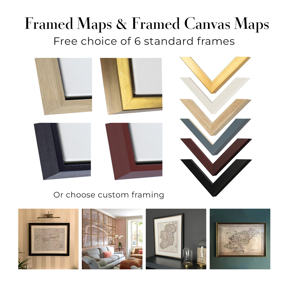
This map is also available as a float framed canvas, sometimes known as a shadow gap framed canvas or canvas floater. The map is printed on artist's cotton canvas and then stretched over a handmade box frame. We then "float" the canvas inside a wooden frame, which is available in a range of colours (black, dark brown, oak, antique gold and white). This is a wonderful way to present a map without glazing in front. See some examples of float framed canvas maps and explore the differences between my different finishes.
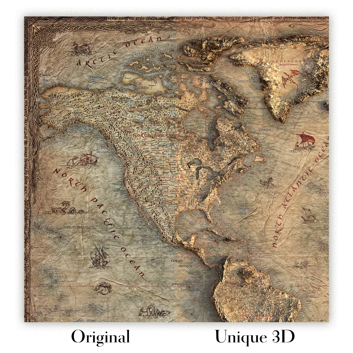
For something truly unique, this map is also available in "Unique 3D", our trademarked process that dramatically transforms the map so that it has a wonderful sense of depth. We combine the original map with detailed topography and elevation data, so that mountains and the terrain really "pop". For more info and examples of 3D maps, check my Unique 3D page.
Entitled "Stanford Map of the Isthmus of Kra, Thailand (Siam) and Burma," this 1883 production concentrates on the narrow neck of the Malay Peninsula where two seas nearly meet—the Andaman to the west and the Gulf of Siam to the east. Stanford presents a thematic synthesis rather than a mere coastal chart: rivers, mountain chains, and jungle tracts are organized in crisp, color‑coded fields, with a distinctive pink wash picking out key land regions for immediate legibility. Across the surface, careful notes alert the reader to sandbanks, shallow bars, and treacherous river mouths, while depth figures stitch the coasts with empirical precision. Topographical cross‑sections translate the daunting relief into profiles that can be measured, imagined, and, crucially, planned across—an indispensable cartographic toolkit for anyone contemplating a passage over the Isthmus of Kra.
At the helm is Edward Stanford, Victorian London’s preeminent purveyor of geographic intelligence, whose house became synonymous with practical accuracy in the service of science, trade, and statecraft. Stanford’s genius lay in orchestrating disparate sources—official boundary commissions, naval soundings, and the testimony of itinerant surveyors—into a lucid whole. Here he addresses a frontier of intense Anglo–Siamese interest, where imperial administration met tropical complexity. The international boundary between British Burma and Siam is plotted with purposeful clarity, and the distribution of British police posts along that line speaks to the rhythms of oversight on a difficult edge of empire. Even seemingly incidental annotations—such as the anchorage of H.M.S. Nemesis in 1859—double as archival breadcrumbs, rooting the map in a chronology of visits, patrols, and negotiations that shaped this littoral.
Hydrology and hazard are the map’s narrative spine. The Kraburi River, a sinuous corridor between steep, forested hills, carries a stern marginalia: warnings of shifting channels, concealed sandbanks, and perilous shallows capable of trapping unwary craft. Similar cautions accompany the Lang Suan River on the Gulf side, where deltas and tidal mudflats complicate approach. Depth soundings and shoal delineations calibrate these dangers, converting anecdote into navigational counsel. Settlements are not mere labels but waypoints in this choreography of water and land: Ranong (Rehnong) on the Burmese shore, and, across the divide, Chumphon and Lang Suan anchoring Siam’s coast. Jungle and mountain symbolization tightens over the backbone of the isthmus, reminding the reader that overland passage could prove as vexing as coastal pilotage—especially in monsoon season, when rivers rise and tracks dissolve.
Stanford’s inclusion of cross‑sections is both elegant and utilitarian. One profile traces the route traditionally taken by elephants between Kra and Chumphon, its gradients revealing where loads must be lightened and escorts doubled; another runs from the Bay of Bengal to Lang Suan, inviting comparison between rival corridors from ocean to ocean. These are not abstract physics but applied geography, distilled from field experience. Margin notes echo the observations of Loftus during his Lang Suan survey, their tone candid about rapids, portages, and the intervals where boats must be hauled. In reading the map horizontally and vertically at once, the viewer apprehends a three‑dimensional problem: relief, rainfall, and river temperament conspire to dictate the feasibility—and cost—of any crossing.
All of this feeds a question that haunted strategists for centuries: could the Isthmus of Kra be pierced by a canal to shortcut the Strait of Malacca? Stanford does not advocate; he equips. The calibrated elevations, hazard warnings, and boundary logistics form a dossier for decision‑makers of the late nineteenth century, whose deliberations anticipate later debates about Indo‑Pacific sea lanes and, in our time, the narratives gathered under China’s ‘maritime silk road.’ The map’s refined color coding—pink among them—separates jurisdictions and physiographic zones with unshowy authority, while the overlay of police posts, anchorages, and survey tracks reveals a frontier managed by notes in the margin as much as by lines on the ground. It is a document of ambition measured against terrain.
Cities and towns on this map
- Chumphon
- Lang Suan (Langsuen)
- Ranong (Rehnong)
Notable Features & Landmarks
- Rivers including the Kraburi River and Lang Suan River
- Topographical cross-sections of the landscape
- Notes on navigational hazards
- Terrain features like mountains and jungles
- Boundaries marked between British Burma and Siam
- British police stations indicated along the Anglo-Siamese boundary
- Depth markings and survey notations for waters
Historical and design context
- Created by Edward Stanford in 1883
- Illustrates the challenges of surveying dense jungle and mountain terrain, with difficulties in traversing waters and land
- Historical reference: anchorage of H.M.S. Nemesis in 1859
- Notations reflect Loftus’s experiences during a survey expedition along the Lang Suan River
- Countries/Regions depicted: Thailand (formerly Siam) and Burma (now Myanmar)
- Historical significance: prior attempts at building a canal across the isthmus, later linked to discussions of China’s “maritime silk road”
- Distinct color coding (including a pink hue) aids in differentiating regions and waterways
Please double check the images to make sure that a specific town or place is shown on this map. You can also get in touch and ask us to check the map for you.
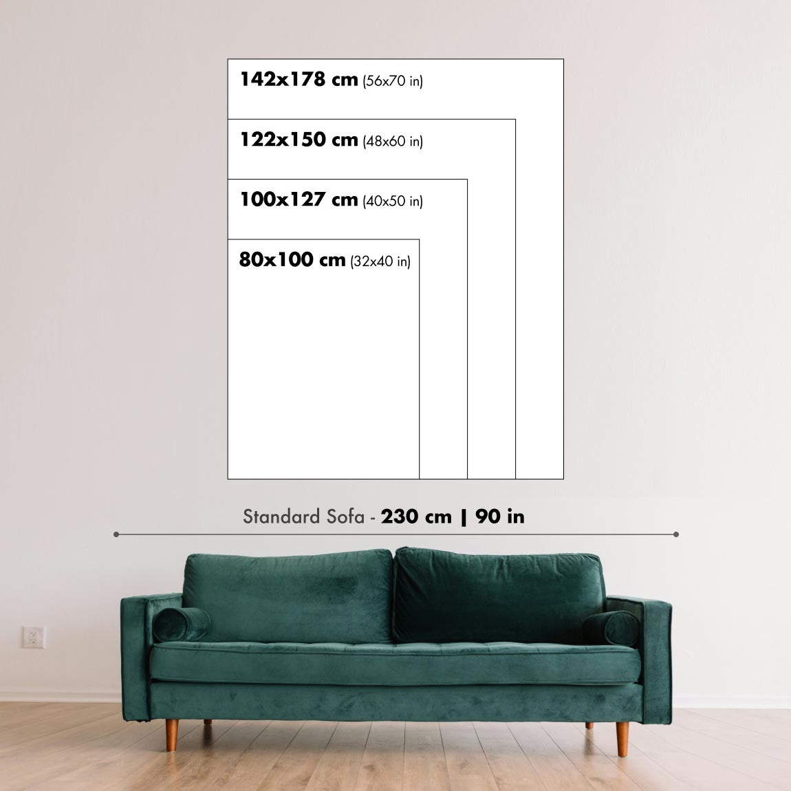
This map looks great at every size, but I always recommend going for a larger size if you have space. That way you can easily make out all of the details.
This map looks amazing at sizes all the way up to 50in (125cm). If you are looking for a larger map, please get in touch.
The model in the listing images is holding the 18x24in (45x60cm) version of this map.
The fifth listing image shows an example of my map personalisation service.
If you’re looking for something slightly different, check out my collection of the best old maps to see if something else catches your eye.
Please contact me to check if a certain location, landmark or feature is shown on this map.
This would make a wonderful birthday, Christmas, Father's Day, work leaving, anniversary or housewarming gift for someone from the areas covered by this map.
This map is available as a giclée print on acid free archival matte paper, or you can buy it framed. The frame is a nice, simple black frame that suits most aesthetics. Please get in touch if you'd like a different frame colour or material. My frames are glazed with super-clear museum-grade acrylic (perspex/acrylite), which is significantly less reflective than glass, safer, and will always arrive in perfect condition.
This map is also available as a float framed canvas, sometimes known as a shadow gap framed canvas or canvas floater. The map is printed on artist's cotton canvas and then stretched over a handmade box frame. We then "float" the canvas inside a wooden frame, which is available in a range of colours (black, dark brown, oak, antique gold and white). This is a wonderful way to present a map without glazing in front. See some examples of float framed canvas maps and explore the differences between my different finishes.
For something truly unique, this map is also available in "Unique 3D", our trademarked process that dramatically transforms the map so that it has a wonderful sense of depth. We combine the original map with detailed topography and elevation data, so that mountains and the terrain really "pop". For more info and examples of 3D maps, check my Unique 3D page.
Many of our maps and art prints are chosen as thoughtful gifts for homes, offices, studies and meaningful places.
Choose a framed option for the easiest ready-to-hang gift, or choose an unframed print if the recipient may prefer to select their own frame.
We make orders locally in 24 countries around the world, so gifts can often be produced close to the recipient. This helps them arrive faster, travel more safely, and avoid customs or import duty surprises.
- We can deliver directly to the recipient
- Framed pieces arrive ready to hang
- Unframed prints are carefully packed in a strong protective tube
- Almost every order is made locally, for faster, safer gifting
- 90-day returns give the recipient time to decide
If you are not sure what to choose, please contact us. We can help you pick the right map, size, finish or delivery option.
Most orders are made locally and delivered in around 2–3 working days, depending on the product, size and destination.
We print and frame maps and artwork in 24 countries around the world, so your order is usually made close to you or your recipient. That means faster delivery, less time in transit, and no customs or import duty surprises.
Personalised and customised pieces usually take an extra 1–2 working days, because we prepare your design and send it to you for approval before printing.
Very large framed orders can take a little longer, as they need extra care in production and delivery.
Every order is carefully packaged: unframed prints are sent in a strong protective tube, while framed pieces are securely packed with protective materials around the frame.
If you need your order by a particular date, please contact us before ordering. We’ll check the best production route and delivery option for your location.
Express delivery is available at checkout for most countries. Next-day delivery is available in the UK, US, Singapore and the UAE.
Your order is covered by our 90-day returns policy and 10-year guarantee.
Our standard frame is a gallery-style black ash hardwood frame, with a simple, modern look. It is approximately 20mm (0.8in) wide. You can also view some lovely customer photos of framed maps and art.
We use super-clear acrylic glazing, also known as Perspex or Acrylite, instead of traditional glass. It is lighter, safer, and has lower reflectivity, giving the artwork a clearer, cleaner appearance.
Six standard frame colours are available at no extra cost: black, dark brown, dark grey, oak, white, and antique gold. Custom framing and mounting/matting is also available for customers looking for something more specific.
Most maps, art prints, and illustrations are also available as a framed canvas. We use matte cotton canvas, stretch it over a sustainably sourced wooden box frame, and then float the piece within a wooden outer frame. The finished result is beautifully presented, with no glazing between you and the artwork.
All frames are supplied ready to hang, with either string or brackets fitted to the back. Very large frames will include heavy-duty hanging plates and/or a mounting baton. If you have any questions, please get in touch.
We can also supply old maps and artwork on canvas, foam board, cotton rag, and other materials.
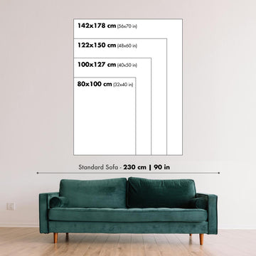
If you would prefer to frame your map or artwork yourself, please read our size guide before ordering.
We work with interior designers, hospitality businesses, property professionals, offices and corporate buyers on individual pieces and larger coordinated projects.
This map can be adapted for a particular wall, room or project, and our workshop can help coordinate the dimensions, material and framing before production.
- Exact, oversized and made-to-measure dimensions
- Custom framing, mounting and alternative materials
- Coordinated pieces for several rooms or locations
- Map personalisation, to mark important locations or add extra details
- Map and framing guidance from our workshop
- Local production for projects around the world
Every Unique Maps piece begins with an authentic cartographic source or an original design from our London studio.
For our historic maps, we source rare originals from libraries, archives, auction houses and private collections around the world. We carefully restore each map for print—repairing age-related damage, balancing colour and improving clarity while preserving its original detail, texture and character.
Once restored, the map is prepared for your chosen size and finish. Your piece is then printed and, where selected, framed close to its delivery destination.
Our map prints use acid-free 200gsm archival matte paper and fade-resistant pigment inks, creating a rich, non-glossy finish designed to last. Framed maps use crystal-clear optical acrylic and arrive ready to hang.
Canvas, cotton-rag and other specialist presentations are also available. Learn more about our materials and finishes.
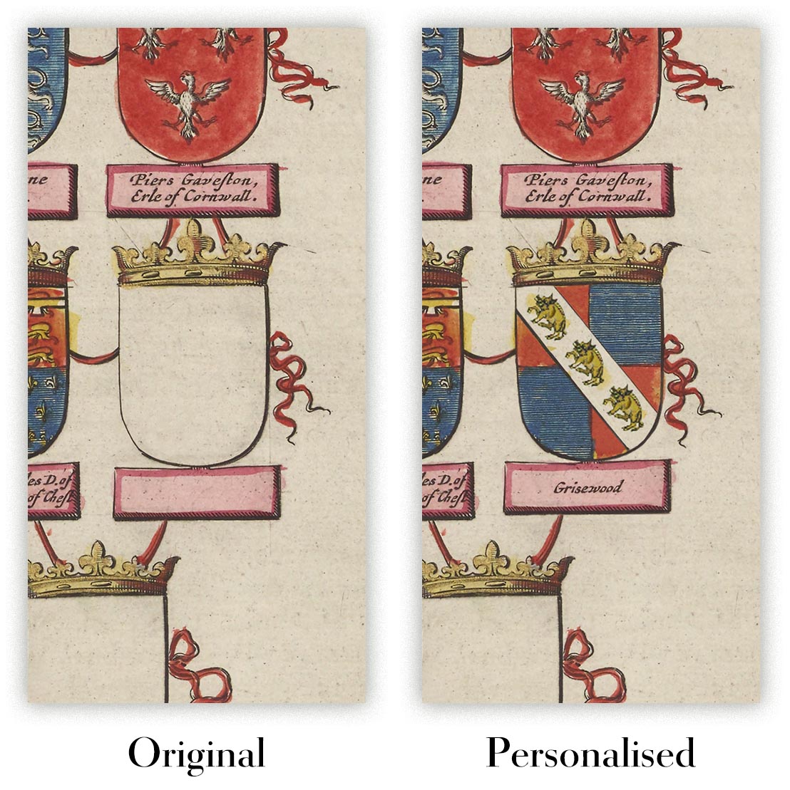
Personalising your map
You can add a short title or dedication, mark one meaningful place, or request one considered visual detail. For personalised designs, we send a proof before printing and you can request changes before approval.
For more complex bespoke commissions, contact our design team.
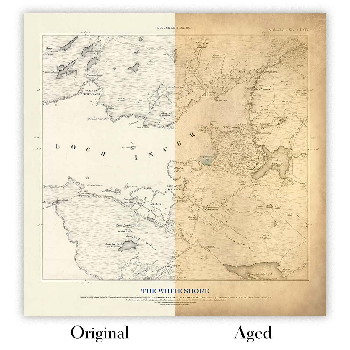
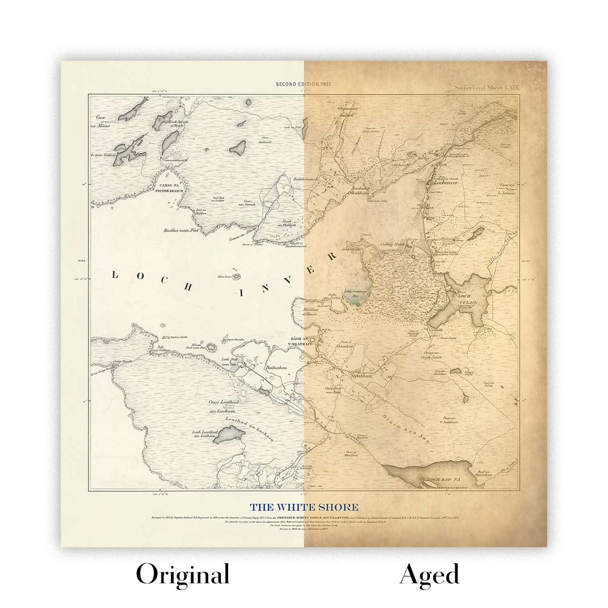
Original or Aged
Choose Original for true-to-source colour, or Aged for a warmer, richer antique character created with our specialist ageing process. See examples of our Aged maps.
We’ve been restoring and producing maps and art prints since 1984, and we stand behind every piece.
Every order is covered by our 10-year guarantee and damage-free delivery guarantee. If your piece arrives damaged, we’ll replace or remake it free of charge. If anything else isn’t right, contact our workshop team and we’ll put it right promptly.
See our returns and refund policy for full details.
Or try searching for something!


