













Old World Map of NYK Line Shipping Routes & Rail Links, 1926: rare first issue; Trans-Pacific & Japan-Suez; Poole Brothers design
Weihnachtslieferung & Geschenke

Direkt an die beschenkte Person senden
Fügen Sie in Ihrem Warenkorb eine Geschenknachricht hinzu und geben Sie dann an der Kasse die Lieferadresse der Empfängerin oder des Empfängers ein. Wir drucken Ihre Nachricht auf eine Karte. Dem Paket werden keine Preise beigefügt.
Lieferzeit
Die Standardlieferung ist weltweit kostenlos und dauert in der Regel etwa 3 Werktage. Sie senden ein Geschenk ins Ausland? Wir fertigen die meisten Bestellungen vor Ort, im Land der Empfängerin oder des Empfängers.
Bitte planen Sie bei personalisierten Bestellungen zusätzliche Zeit für Gestaltung und Druckfreigabe ein. Lieferdetails ansehen.
Rücksendungen: Standardbestellungen können innerhalb von 90 Tagen nach Lieferung zurückgegeben oder umgetauscht werden. Personalisierte und individuell angefertigte Stücke sind in der Regel von Rückgaben bei Nichtgefallen ausgeschlossen. Unsere Rückgaberichtlinie ansehen.
Black-Friday-Sale
Wählen Sie einen Artikel und erhalten Sie 20 % Rabatt.
Wählen Sie zwei Werke und erhalten Sie 25 % Rabatt auf beide. Sie können Karten und Kunstdrucke beliebig kombinieren.
Es ist kein Code erforderlich. Das Angebot wird automatisch angewendet.
Vollständige Geschäftsbedingungen
Das Sammlerangebot gilt für berechtigte Werke in standardmäßigen Konfigurationen auf Bestellung. Sondergrößen, personalisierte Designs und Auftragsarbeiten sind ausgeschlossen. Produkte mit „personalised“ oder „custom“ im Namen sind in der Regel ausgeschlossen.
Das Angebot wird als zwei separate automatische Rabatte verwaltet: einer für kleinere Formate und einer für größere Formate. Um sich zu qualifizieren, müssen Sie zwei berechtigte Werke innerhalb derselben Formatgruppe kaufen. Karten und Kunstdrucke können innerhalb jeder Gruppe beliebig kombiniert werden.
Zum Beispiel qualifizieren sich zwei berechtigte Drucke im Format A4 oder 8 × 10 Zoll für 25 % Rabatt auf beide. Ein Druck im kleineren Format und ein Werk im größeren Format qualifizieren sich nicht gemeinsam, da Artikel aus unterschiedlichen Formatgruppen nicht kombiniert werden können, um die Anforderung von zwei Artikeln zu erfüllen.
Es ist kein Rabattcode erforderlich. Ein etwaiger qualifizierender Rabatt wird automatisch in Ihrem Warenkorb und an der Kasse angewendet.
Größe wählen
Ausführung wählen


(Mehr Infos)
Geschenkmitteilung & individuelle Ausführung

Wenn Sie eine Geschenkmitteilung oder eine Ausführung (Puzzle, Aluminiumplatte usw.) hinzufügen möchten, die hier nicht verfügbar ist, geben Sie dies bitte in der "Bestellnotiz" beim Checkout an.
Jede Bestellung wird individuell angefertigt. Wenn Sie die Größe leicht anpassen oder auf einem ungewöhnlichen Material drucken lassen möchten, lassen Sie es uns einfach wissen. Wir haben im Laufe der Jahre Tausende von individuellen Bestellungen bearbeitet, daher gibt es (fast) nichts, was wir nicht bewältigen können.
Sie können uns auch kontaktieren, bevor Sie bestellen, wenn Sie möchten!
- Hergestellt in the UK. Sicher geliefert
- Kommt einwandfrei an – oder wir ersetzen es
-
Weihnachtslieferung & Geschenke Weihnachtslieferung & Geschenke
![Ein Beispiel der gedruckten Geschenknachrichtenkarte in voller Größe anzeigen]()
Direkt an die beschenkte Person senden
Fügen Sie in Ihrem Warenkorb eine Geschenknachricht hinzu und geben Sie dann an der Kasse die Lieferadresse der Empfängerin oder des Empfängers ein. Wir drucken Ihre Nachricht auf eine Karte. Dem Paket werden keine Preise beigefügt.
Lieferzeit
Die Standardlieferung ist weltweit kostenlos und dauert in der Regel etwa 3 Werktage. Sie senden ein Geschenk ins Ausland? Wir fertigen die meisten Bestellungen vor Ort, im Land der Empfängerin oder des Empfängers.
Bitte planen Sie bei personalisierten Bestellungen zusätzliche Zeit für Gestaltung und Druckfreigabe ein. Lieferdetails ansehen.
Rücksendungen: Standardbestellungen können innerhalb von 90 Tagen nach Lieferung zurückgegeben oder umgetauscht werden. Personalisierte und individuell angefertigte Stücke sind in der Regel von Rückgaben bei Nichtgefallen ausgeschlossen. Unsere Rückgaberichtlinie ansehen.
- Hilfe bei der Bestellung?
Das sagen unsere Kunden
Mehr als 8.000 Fünf-Sterne-Bewertungen aus aller Welt


World Map of the World Showing Principal N.Y.K. Line Service and Rail Connections is a 1926 tour de force of promotional cartography,...
WeiterlesenWorld Map of the World Showing Principal N.Y.K. Line Service and Rail Connections is a 1926 tour de force of promotional cartography, published by the Nippon Yusen Kaisha (NYK Line) with design and production by the renowned Poole Brothers. Conceived for Western audiences, this rare first issue orchestrates geography, commerce, and aspiration into a single, dazzling statement of global reach. The map frames NYK not merely as a carrier, but as a conduit of modern travel—linking continents by sea while coordinating with rail networks ashore. Its composition balances navigational clarity with narrative flourish, presenting a world newly knit together in the interwar era and inviting travelers to experience it with ease, refinement, and Japanese precision.
The map’s geography is purposeful and expansive, sweeping from Japan across the Pacific and onward to North and South America, folding back through the Atlantic and Indian Oceans to Europe, Africa, and the key crossroads of Asia. Principal shipping routes blaze in orange, tracing the NYK Trans-Pacific Fleet to the Americas and the Japan–Suez–Europe Fleet across the great trunk lines of empire and trade. Major coastal cities—New York and San Francisco among them—anchor this web of connectivity, while a dense scatter of named ports in Asia and Europe underscores the company’s comprehensive schedule. It is both a wayfinding tool and a visual manifesto of regularity, frequency, and reach.
Equally persuasive is the map’s theatrical program of imagery. Poole Brothers weave ornate borders and elegant vignettes with insets that open like doors into the ships themselves: passenger cabins, dining rooms, and social spaces rendered to emphasize comfort, discretion, and cosmopolitan savoir-faire. Illustrated profiles of NYK vessels, accompanied by concise descriptions, march along the margins, embedding engineering confidence within a language of leisure. The result is immersive storytelling: the viewer moves from route to ship to salon in a seamless arc, feeling the promise of ocean travel long before a ticket is booked.
Historically, this sheet crystallizes a pivotal moment. In the buoyant aftermath of World War I, global demand for shipping surged, and Japan’s maritime influence expanded decisively. NYK positioned itself at the nexus of East–West exchange, aligning sea lanes with rail connections to make transoceanic travel more continuous and civilized. The map promotes that ambition with persuasive tact: it speaks in the modern idiom of efficiency while projecting an aura of hospitality designed for discerning Western travelers. In doing so, it embodies both national confidence and the universal allure of streamlined mobility.
Cartographically, the composition privileges a route-friendly world projection that maximizes legibility of long-haul arcs across the Pacific, Atlantic, and Indian Oceans. Color is employed with intelligence—those vivid orange lines not only guide the eye but also suggest velocity and certainty—while crisp labeling threads through the continents to tether sea to shore. Thematic clarity, decorative nuance, and promotional wit converge to produce an object that is as informative as it is aspirational. As a rare first issue, it captures the golden age of steamship travel at its zenith, transforming a schedule of sailings into a map of possibilities.
Countries and regions on this map
- North America
- South America
- Japan
- Australia
- Asia (Southeast Asia, Middle East)
- Africa
- Europe
- Pacific Ocean
- Atlantic Ocean
- Indian Ocean
Notable Features & Landmarks
- Principal shipping routes highlighted with orange lines.
- Illustration of various NYK Line ships with descriptions.
- Insets showing passenger cabins, dining areas, and other amenities aboard the vessels.
- The map includes detailed city names along major routes including New York, San Francisco, and various ports in Asia and Europe.
Historical and design context
- Rare first issue (1926) promoting NYK Line’s passenger and freighter fleets to Western markets.
- Emphasizes luxury and comfort through illustrated shipboard amenities to attract Western clientele.
- Highlights major NYK routes, including the Trans-Pacific Fleet and Japan–Suez–Europe Fleet.
- Thematic and pictorial design focused on maritime routes and passenger amenities.
- Decorative and promotional elements, including ornate borders and illustrated scenes of ship interiors.
- Finely illustrated blend of geographic mapping and promotional imagery.
- Reflects early 20th-century growth of global shipping and NYK’s role linking Asia with the West.
- Signals Japan’s expanding maritime influence and worldwide demand for shipping services after World War I.
Please double check the images to make sure that a specific town or place is shown on this map. You can also get in touch and ask us to check the map for you.
This map looks great at every size, but I always recommend going for a larger size if you have space. That way you can easily make out all of the details.
This map looks amazing at sizes all the way up to 100in (250cm). If you are looking for a larger map, please get in touch.
Please note: the labels on this map are hard to read if you order a map that is 16in (40cm) or smaller. The map is still very attractive, but if you would like to read the map easily, please buy a larger size.
This map is wider than most maps, which would make it a perfect statement piece above a mantelpiece, sofa or desk.
The fifth listing image shows an example of my map personalisation service.
If you’re looking for something slightly different, check out my collection of the best old maps to see if something else catches your eye.
Please contact me to check if a certain location, landmark or feature is shown on this map.
This would make a wonderful birthday, Christmas, Father's Day, work leaving, anniversary or housewarming gift for someone from the areas covered by this map.
This map is available as a giclée print on acid free archival matte paper, or you can buy it framed. The frame is a nice, simple black frame that suits most aesthetics. Please get in touch if you'd like a different frame colour or material. My frames are glazed with super-clear museum-grade acrylic (perspex/acrylite), which is significantly less reflective than glass, safer, and will always arrive in perfect condition.
This map is also available as a float framed canvas, sometimes known as a shadow gap framed canvas or canvas floater. The map is printed on artist's cotton canvas and then stretched over a handmade box frame. We then "float" the canvas inside a wooden frame, which is available in a range of colours (black, dark brown, oak, antique gold and white). This is a wonderful way to present a map without glazing in front. See some examples of float framed canvas maps and explore the differences between my different finishes.
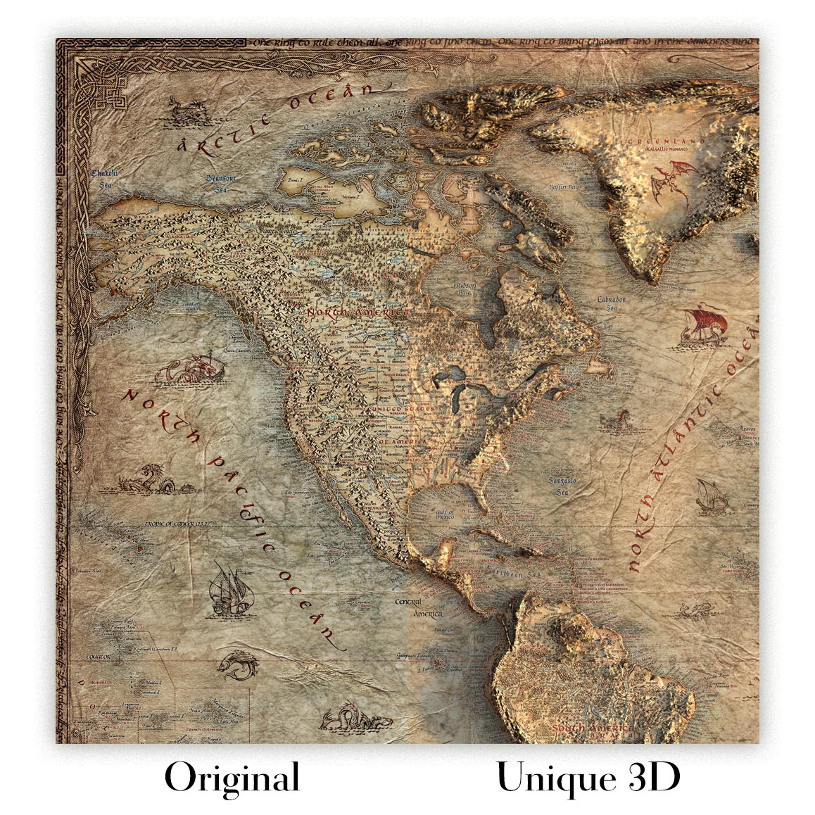
For something truly unique, this map is also available in "Unique 3D", our trademarked process that dramatically transforms the map so that it has a wonderful sense of depth. We combine the original map with detailed topography and elevation data, so that mountains and the terrain really "pop". For more info and examples of 3D maps, check my Unique 3D page.
World Map of the World Showing Principal N.Y.K. Line Service and Rail Connections is a 1926 tour de force of promotional cartography, published by the Nippon Yusen Kaisha (NYK Line) with design and production by the renowned Poole Brothers. Conceived for Western audiences, this rare first issue orchestrates geography, commerce, and aspiration into a single, dazzling statement of global reach. The map frames NYK not merely as a carrier, but as a conduit of modern travel—linking continents by sea while coordinating with rail networks ashore. Its composition balances navigational clarity with narrative flourish, presenting a world newly knit together in the interwar era and inviting travelers to experience it with ease, refinement, and Japanese precision.
The map’s geography is purposeful and expansive, sweeping from Japan across the Pacific and onward to North and South America, folding back through the Atlantic and Indian Oceans to Europe, Africa, and the key crossroads of Asia. Principal shipping routes blaze in orange, tracing the NYK Trans-Pacific Fleet to the Americas and the Japan–Suez–Europe Fleet across the great trunk lines of empire and trade. Major coastal cities—New York and San Francisco among them—anchor this web of connectivity, while a dense scatter of named ports in Asia and Europe underscores the company’s comprehensive schedule. It is both a wayfinding tool and a visual manifesto of regularity, frequency, and reach.
Equally persuasive is the map’s theatrical program of imagery. Poole Brothers weave ornate borders and elegant vignettes with insets that open like doors into the ships themselves: passenger cabins, dining rooms, and social spaces rendered to emphasize comfort, discretion, and cosmopolitan savoir-faire. Illustrated profiles of NYK vessels, accompanied by concise descriptions, march along the margins, embedding engineering confidence within a language of leisure. The result is immersive storytelling: the viewer moves from route to ship to salon in a seamless arc, feeling the promise of ocean travel long before a ticket is booked.
Historically, this sheet crystallizes a pivotal moment. In the buoyant aftermath of World War I, global demand for shipping surged, and Japan’s maritime influence expanded decisively. NYK positioned itself at the nexus of East–West exchange, aligning sea lanes with rail connections to make transoceanic travel more continuous and civilized. The map promotes that ambition with persuasive tact: it speaks in the modern idiom of efficiency while projecting an aura of hospitality designed for discerning Western travelers. In doing so, it embodies both national confidence and the universal allure of streamlined mobility.
Cartographically, the composition privileges a route-friendly world projection that maximizes legibility of long-haul arcs across the Pacific, Atlantic, and Indian Oceans. Color is employed with intelligence—those vivid orange lines not only guide the eye but also suggest velocity and certainty—while crisp labeling threads through the continents to tether sea to shore. Thematic clarity, decorative nuance, and promotional wit converge to produce an object that is as informative as it is aspirational. As a rare first issue, it captures the golden age of steamship travel at its zenith, transforming a schedule of sailings into a map of possibilities.
Countries and regions on this map
- North America
- South America
- Japan
- Australia
- Asia (Southeast Asia, Middle East)
- Africa
- Europe
- Pacific Ocean
- Atlantic Ocean
- Indian Ocean
Notable Features & Landmarks
- Principal shipping routes highlighted with orange lines.
- Illustration of various NYK Line ships with descriptions.
- Insets showing passenger cabins, dining areas, and other amenities aboard the vessels.
- The map includes detailed city names along major routes including New York, San Francisco, and various ports in Asia and Europe.
Historical and design context
- Rare first issue (1926) promoting NYK Line’s passenger and freighter fleets to Western markets.
- Emphasizes luxury and comfort through illustrated shipboard amenities to attract Western clientele.
- Highlights major NYK routes, including the Trans-Pacific Fleet and Japan–Suez–Europe Fleet.
- Thematic and pictorial design focused on maritime routes and passenger amenities.
- Decorative and promotional elements, including ornate borders and illustrated scenes of ship interiors.
- Finely illustrated blend of geographic mapping and promotional imagery.
- Reflects early 20th-century growth of global shipping and NYK’s role linking Asia with the West.
- Signals Japan’s expanding maritime influence and worldwide demand for shipping services after World War I.
Please double check the images to make sure that a specific town or place is shown on this map. You can also get in touch and ask us to check the map for you.
This map looks great at every size, but I always recommend going for a larger size if you have space. That way you can easily make out all of the details.
This map looks amazing at sizes all the way up to 100in (250cm). If you are looking for a larger map, please get in touch.
Please note: the labels on this map are hard to read if you order a map that is 16in (40cm) or smaller. The map is still very attractive, but if you would like to read the map easily, please buy a larger size.
This map is wider than most maps, which would make it a perfect statement piece above a mantelpiece, sofa or desk.
The fifth listing image shows an example of my map personalisation service.
If you’re looking for something slightly different, check out my collection of the best old maps to see if something else catches your eye.
Please contact me to check if a certain location, landmark or feature is shown on this map.
This would make a wonderful birthday, Christmas, Father's Day, work leaving, anniversary or housewarming gift for someone from the areas covered by this map.
This map is available as a giclée print on acid free archival matte paper, or you can buy it framed. The frame is a nice, simple black frame that suits most aesthetics. Please get in touch if you'd like a different frame colour or material. My frames are glazed with super-clear museum-grade acrylic (perspex/acrylite), which is significantly less reflective than glass, safer, and will always arrive in perfect condition.
This map is also available as a float framed canvas, sometimes known as a shadow gap framed canvas or canvas floater. The map is printed on artist's cotton canvas and then stretched over a handmade box frame. We then "float" the canvas inside a wooden frame, which is available in a range of colours (black, dark brown, oak, antique gold and white). This is a wonderful way to present a map without glazing in front. See some examples of float framed canvas maps and explore the differences between my different finishes.
For something truly unique, this map is also available in "Unique 3D", our trademarked process that dramatically transforms the map so that it has a wonderful sense of depth. We combine the original map with detailed topography and elevation data, so that mountains and the terrain really "pop". For more info and examples of 3D maps, check my Unique 3D page.
Viele unserer Karten und Kunstdrucke werden als stilvolle Geschenke für Wohnungen, Büros, Arbeitszimmer und bedeutungsvolle Orte ausgewählt.
Wählen Sie eine gerahmte Option für das einfachste, fertig zum Aufhängen vorbereitete Geschenk, oder entscheiden Sie sich für einen ungerahmten Druck, wenn die beschenkte Person möglicherweise lieber ihren eigenen Rahmen auswählen möchte.
Wir fertigen Bestellungen lokal in 24 Ländern weltweit, sodass Geschenke oft in der Nähe der empfangenden Person produziert werden können. Das hilft, dass sie schneller ankommen, sicherer transportiert werden und keine Überraschungen durch Zoll- oder Einfuhrgebühren entstehen.
- Wir können direkt an die empfangende Person liefern. Es werden keine Preisinformationen beigelegt.
- Ihrer Bestellung kann eine Geschenknachricht hinzugefügt werden. Wir drucken sie auf eine schöne Karte.
- Gerahmte Stücke werden fertig zum Aufhängen geliefert
- Ungerahmte Drucke werden sorgfältig in einer stabilen Schutztube verpackt
- Nahezu jede Bestellung wird lokal gefertigt – für schnelleres und sichereres Schenken
- 90 Tage Rückgaberecht geben der empfangenden Person Zeit zur Entscheidung
Wenn Sie nicht sicher sind, was Sie wählen sollen, kontaktieren Sie uns bitte. Wir helfen Ihnen gerne dabei, die richtige Karte, Größe, Ausführung oder Lieferoption auszuwählen.
Für die meisten Bestellungen beträgt die Lieferzeit etwa 3 Werktage. Personalisierte und maßgeschneiderte Produkte benötigen länger, da ich die Personalisierung durchführen und sie Ihnen zur Genehmigung zusenden muss, was normalerweise 1 oder 2 Tage dauert.
Bitte beachten Sie, dass sehr große gerahmte Bestellungen in der Regel länger für die Herstellung und Lieferung benötigen.
Wenn Sie möchten, dass Ihre Bestellung bis zu einem bestimmten Datum ankommt, bitte kontaktieren Sie mich, bevor Sie bestellen, damit wir den besten Weg finden können, um sicherzustellen, dass Sie Ihre Bestellung rechtzeitig erhalten.
Ich drucke und rahme Karten und Kunstwerke in 23 Ländern weltweit. Das bedeutet, dass Ihre Bestellung lokal gefertigt wird, was die Lieferzeit verkürzt und sicherstellt, dass sie während der Lieferung nicht beschädigt wird. Sie zahlen nie Zoll oder Einfuhrgebühren, und wir stoßen weniger CO2 in die Luft aus.
Alle meine Karten und Kunstdrucke sind gut verpackt und werden in einem robusten Rohr versendet, wenn sie ungerahmt sind, oder von Schaum umgeben, wenn sie gerahmt sind.
Ich versuche, alle Bestellungen innerhalb von 1 oder 2 Tagen nach Erhalt Ihrer Bestellung zu versenden, obwohl einige Produkte (wie Gesichtsmasken, Tassen und Tragetaschen) länger zur Herstellung benötigen können.
Wenn Sie Express-Lieferung an der Kasse auswählen, priorisieren wir Ihre Bestellung und versenden sie per 1-Tages-Kurier (Fedex, DHL, UPS, Parcelforce).
Nächster Tag Lieferung ist auch in einigen Ländern verfügbar (USA, UK, Singapur, VAE), aber bitte versuchen Sie, früh am Tag zu bestellen, damit wir es rechtzeitig versenden können.
Lesen Sie meinen vollständigen Leitfaden zur Lieferung und lokalen Produktion
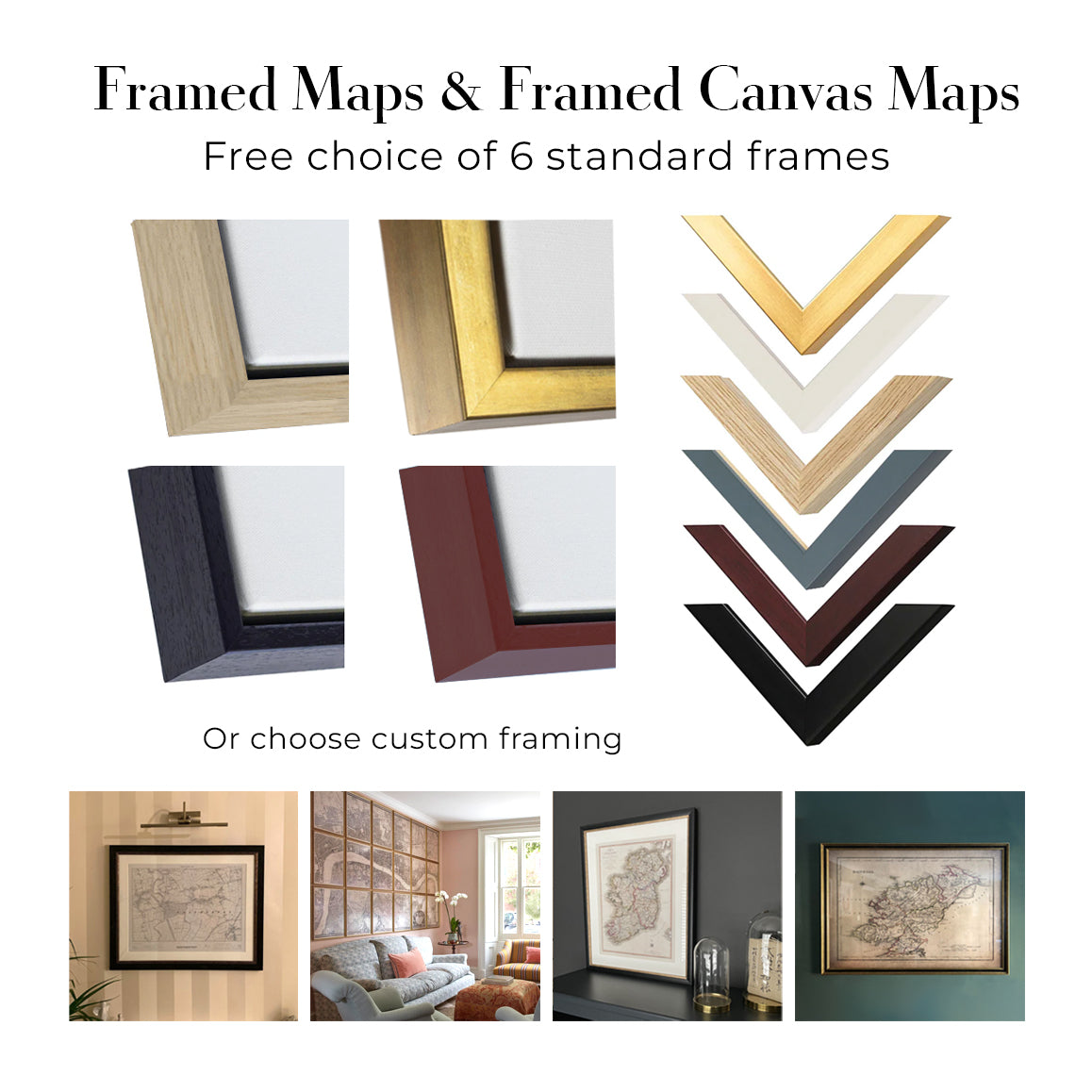
Mein Standardrahmen ist ein Galerie-Stil-Rahmen aus schwarzem Eschenholz. Er ist einfach und sieht ziemlich modern aus. Mein Standardrahmen ist etwa 20 mm (0,8 Zoll) breit.
Ich verwende super-klares Acryl (Plexiglas/Acrylt) für das Glas des Rahmens. Es ist leichter und sicherer als Glas – und es sieht besser aus, da die Reflexion geringer ist.
Sechs Standardrahmenfarben sind kostenlos erhältlich (schwarz, dunkelbraun, dunkelgrau, Eiche, weiß und antikgold).
Die meisten Karten, Kunstwerke und Illustrationen sind auch als gerahmte Leinwand erhältlich. Wir verwenden matte (nicht glänzende) Baumwollleinwand, spannen sie über einen nachhaltig beschafften Buchenrahmen und 'schweben' dann das Stück innerhalb eines Holzrahmens. Das Endergebnis ist ziemlich schön, und es gibt keine Verglasung, die im Weg ist.
Alle Rahmen werden "bereit zum Aufhängen" geliefert, entweder mit einer Schnur oder Halterungen auf der Rückseite. Sehr große Rahmen haben schwere Aufhängeplatten und/oder eine Montageschiene. Wenn Sie Fragen haben, können Sie bitte Kontakt aufnehmen.
Sehen Sie sich einige Beispiele meiner gerahmten Karten und gerahmten Leinwandkarten an.
Alternativ kann ich auch alte Karten und Kunstwerke auf Leinwand, Schaumstoffplatten, Baumwollrag und andere Materialien liefern.
Wenn Sie Ihre Karte oder Ihr Kunstwerk selbst rahmen möchten, lesen Sie bitte zuerst meinen Größenleitfaden.
Wir arbeiten mit Innenarchitekten, Unternehmen aus dem Gastgewerbe, Immobilienfachleuten, Büros und Firmenkunden an Einzelstücken sowie an größeren, abgestimmten Projekten.
Diese Karte kann an eine bestimmte Wand, einen Raum oder ein Projekt angepasst werden, und unsere Werkstatt unterstützt Sie vor der Produktion bei der Abstimmung von Abmessungen, Material und Rahmung.
- Exakte, übergroße und maßgefertigte Abmessungen
- Individuelle Rahmung, Montage und alternative Materialien
- Abgestimmte Stücke für mehrere Räume oder Standorte
- Personalisierung der Karte, um wichtige Orte zu markieren oder zusätzliche Details hinzuzufügen
- Beratung zu Karte und Rahmung durch unsere Werkstatt
- Lokale Produktion für Projekte in aller Welt
Besprechen Sie dieses Werk mit unserem Team für Trade & Projects
Meine Karten sind äußerst hochwertige Reproduktionen von Originalkarten.
Ich beziehe originale, seltene Karten aus Bibliotheken, Auktionshäusern und Privatsammlungen auf der ganzen Welt, restauriere sie in meiner Londoner Werkstatt und erstelle dann mit speziellen Giclée-Tinten und -Druckern wunderschöne Karten, die sogar noch besser aussehen als das Original.
Meine Karten werden auf säurefreiem, mattem Archivpapier (nicht glänzend) gedruckt, das sich sehr hochwertig anfühlt und fast wie Karton aussieht. Technisch gesehen beträgt das Papiergewicht/die Papierdicke 10mil/200g/m². Es eignet sich perfekt zum Einrahmen.
Ich drucke mit UV-lichtbeständigen Ultrachrome-Giclée-Pigmenttinten von Epson – einige der besten Tinten, die Sie finden können.
Ich kann auch machen Karten auf Leinwand, Baumwolllappen und andere exotische Materialien.
Erfahren Sie mehr über The Unique Maps Co.
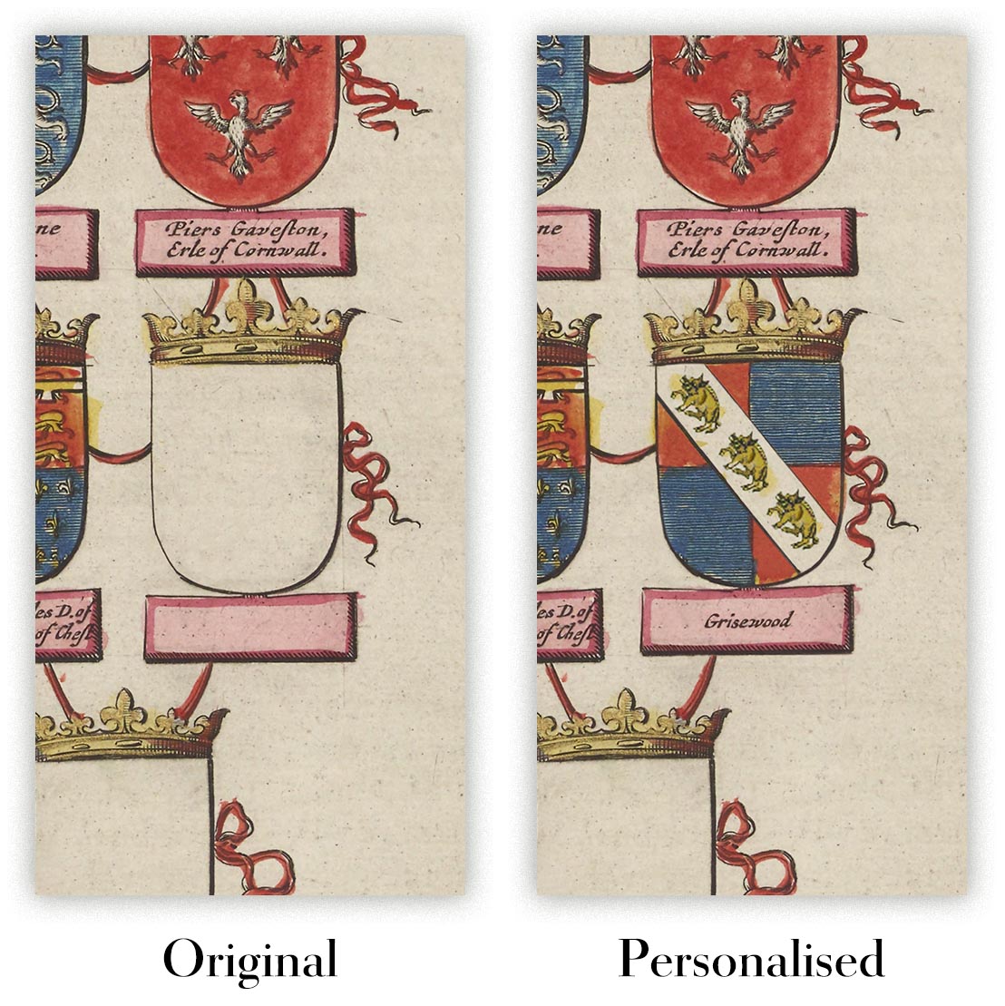
Kartenpersonalisierung
Wenn Sie nach dem perfekten Geschenk zum Jahrestag oder zur Einweihung suchen, kann ich Ihre Karte personalisieren, um sie wirklich einzigartig zu machen. Ich kann beispielsweise eine kurze Nachricht hinzufügen, einen wichtigen Ort hervorheben oder das Wappen Ihrer Familie hinzufügen.
Die Möglichkeiten sind nahezu unbegrenzt. Bitte sehen Sie sich meine Kartenpersonalisierungsseite für einige wunderbare Beispiele dessen, was möglich ist.
Um eine personalisierte Karte zu bestellen, wählen Sie „Personalisieren Sie Ihre Karte“, bevor Sie sie in den Warenkorb legen.
In Kontakt kommen wenn Sie nach komplexeren Anpassungen und Personalisierungen suchen.
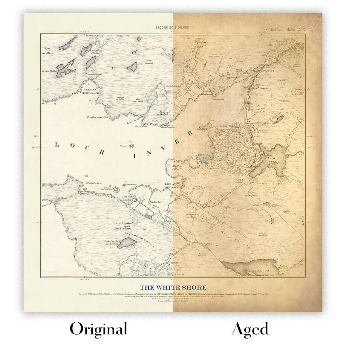
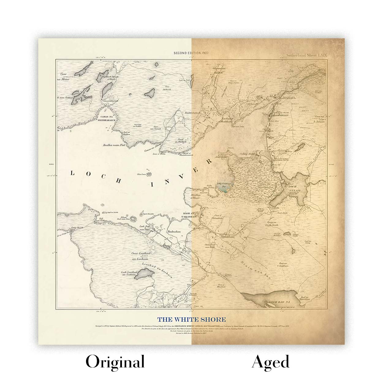
Kartenalterung
Im Laufe der Jahre wurde ich von Kunden hunderte Male gefragt, ob sie eine Karte kaufen könnten, die noch älter.
Nun, jetzt können Sie das, indem Sie „Alter“ auswählen, bevor Sie eine Karte in Ihren Warenkorb legen.
Alle Produktfotos, die Sie auf dieser Seite sehen, zeigen die Karte in ihrer Originalform. So sieht die Karte heute aus.
Wenn Sie „Gealtert“ auswählen, werde ich Ihre Karte von Hand altern lassen. Dazu verwende ich ein spezielles und einzigartiges Verfahren, das ich durch jahrelanges Studium alter Karten und Gespräche mit Forschern zum Verständnis der Chemie alternder Papiere entwickelt habe, und natürlich ... viel Übung!
Wenn Sie sich nicht sicher sind, bleiben Sie bei der Originalfarbe der Karte. Wenn Sie etwas Dunkleres und älter Wenn Sie auf der Suche sind, entscheiden Sie sich für „Aged“.
Sehen Sie einige erstaunliche Beispiele für gealterte Karten.
Seit 1984 restaurieren und fertigen wir Karten und Kunstdrucke an, und wir stehen hinter jedem einzelnen Stück.
Jede Bestellung ist durch unsere 10-Jahres-Garantie und unsere Garantie für beschädigungsfreie Lieferung abgesichert. Sollte Ihr Stück beschädigt bei Ihnen ankommen, ersetzen oder reproduzieren wir es kostenlos. Sollte sonst etwas nicht in Ordnung sein, kontaktieren Sie unser Werkstatt-Team, und wir kümmern uns umgehend darum.
Ausführliche Informationen finden Sie in unseren Rückgabe- und Erstattungsrichtlinien.


