













Rare Old Physiographic Map of Illinois by Bier, 1956: Chicago, Miss. & Ill. Rivers, Shawnee Hills, Driftless, Glacial Limit
Consegna natalizia & regali

Invialo direttamente al destinatario
Aggiungi un messaggio regalo al carrello, quindi inserisci l’indirizzo di consegna del destinatario al checkout. Stamperemo il tuo messaggio su un biglietto. Nel pacco non sono inclusi prezzi.
Tempi di consegna
La consegna standard è gratuita in tutto il mondo e richiede solitamente circa 3 giorni lavorativi. Vuoi inviare un regalo all’estero? Realizziamo la maggior parte degli ordini localmente, nel paese del destinatario.
Per gli ordini personalizzati, prevedi tempi aggiuntivi per la progettazione e l’approvazione della bozza. Consulta i dettagli di consegna.
Resi: Gli ordini standard possono essere restituiti o cambiati entro 90 giorni dalla consegna. Gli articoli personalizzati e realizzati su misura sono generalmente esclusi dai resi per ripensamento. Consulta la nostra politica sui resi.
Saldi del Black Friday
Scegli un articolo e ottieni il 20% di sconto.
Scegli due opere e ricevi il 25% di sconto su entrambe. Puoi abbinare liberamente mappe e stampe d’arte.
Non è richiesto alcun codice. L’offerta viene applicata automaticamente.
Termini e condizioni completi
L’Offerta del Collezionista si applica alle opere idonee nelle configurazioni standard realizzate su ordinazione. Sono esclusi i formati su misura, i design personalizzati e i lavori su commissione. I prodotti con “personalised” o “custom” nel nome sono generalmente esclusi.
L’offerta viene gestita come due sconti automatici separati: uno per i formati più piccoli e uno per i formati più grandi. Per averne diritto, è necessario acquistare due opere idonee all’interno dello stesso gruppo di formato. Mappe e stampe d’arte possono essere liberamente abbinate all’interno di ciascun gruppo.
Ad esempio, due stampe idonee in formato A4 o 8 × 10 in danno diritto al 25% di sconto su entrambe. Una stampa di formato più piccolo e un’opera di formato più grande non danno diritto insieme allo sconto, poiché gli articoli di gruppi di formato diversi non possono essere combinati per soddisfare il requisito dei due articoli.
Non è richiesto alcun codice sconto. Qualsiasi sconto idoneo viene applicato automaticamente nel carrello e al checkout.
Christmas schedule filling up. Order early.
Christmas orders & our workshop schedule
Our Christmas schedule is filling up, particularly for personalised maps and bespoke pieces. Ordering early allows time to prepare your artwork, complete any design approvals, and arrange printing and framing.
If your order requires a design preview, we’ll ask for your approval before printing. A prompt reply helps us keep your order moving through the workshop.
For standard maps and art prints, check the delivery estimate shown on the page. Larger framed orders travel more slowly through the logistics networks. Personalised and bespoke orders need time for design and approval.
Planning something more involved, or working to a particular deadline? Contact the workshop before ordering and we’ll help you check what’s possible.
Scegli il formato
Scegli la finitura


(Maggiori informazioni)
Gift message & custom finish

If you want to add a gift message, or a finish (jigsaw, aluminium board, etc.) that is not available here, please request it in the "order note" when you check out.
Every order is custom made, so if you need the size adjusted slightly, or printed on an unusual material, just let us know. We've done thousands of custom orders over the years, so there's (almost) nothing we can't manage.
You can also contact us before you order, if you prefer!
- Prodotto in the UK. Consegna sicura
- Arriva perfetto, altrimenti lo sostituiamo
-
Consegna e regali di Natale Consegna natalizia & regali
![Visualizza un esempio a grandezza naturale del biglietto con messaggio regalo stampato]()
Invialo direttamente al destinatario
Aggiungi un messaggio regalo al carrello, quindi inserisci l’indirizzo di consegna del destinatario al checkout. Stamperemo il tuo messaggio su un biglietto. Nel pacco non sono inclusi prezzi.
Tempi di consegna
La consegna standard è gratuita in tutto il mondo e richiede solitamente circa 3 giorni lavorativi. Vuoi inviare un regalo all’estero? Realizziamo la maggior parte degli ordini localmente, nel paese del destinatario.
Per gli ordini personalizzati, prevedi tempi aggiuntivi per la progettazione e l’approvazione della bozza. Consulta i dettagli di consegna.
Resi: Gli ordini standard possono essere restituiti o cambiati entro 90 giorni dalla consegna. Gli articoli personalizzati e realizzati su misura sono generalmente esclusi dai resi per ripensamento. Consulta la nostra politica sui resi.
- Serve aiuto per ordinare?
La parola ai nostri clienti
Oltre 8.000 recensioni a cinque stelle da tutto il mondo


Landforms of Illinois (1956) by James A. Bier, produced for the State Geological Survey, Department of Registration and Education for the State...
Continua a leggereLandforms of Illinois (1956) by James A. Bier, produced for the State Geological Survey, Department of Registration and Education for the State of Illinois, is a masterclass in scientific cartography. Grounded in U.S. Geological Survey topographic quadrangles, it distills a vast body of field knowledge into a lucid portrait of the Prairie State’s terrain. Administrative boundaries and named cities are interlaced with the deep-time story: drainage traces, landform profiles, spot heights, and a crisply drawn limit of glaciation reveal how ice, water, and time sculpted Illinois. The composition fuses clarity with authority, inviting both casual viewing and close study. As a historical document, it captures the state of mid‑century geological understanding while remaining a remarkably current guide to the lay of the land.
Bier’s draftsmanship is quintessentially mid‑20th‑century: intricate line work, firm yet lyrical hachures, and disciplined shading translate subtle relief into legible form. Contours and drainage networks read like musical notation, with the Mississippi and Illinois Rivers carrying the score while tributaries elaborate the theme. Spot heights punctuate the surface, orienting the eye to divides and basins. An inset of the state’s physiographic divisions functions as a key, framing the Till Plains, hill belts, and river lowlands so the main sheet’s textures fall instantly into place. Overprinted county lines and municipalities add a human frame of reference without overwhelming the geomorphology—a careful balance that reflects the Survey’s pedagogical mission and Bier’s precision, making the map equally at home in the seminar room and the connoisseur’s library.
The elegantly traced limit of glaciation is the narrative hinge of this composition. North and central Illinois appear as a quilt of moraines, outwash plains, and lakebeds—signatures of retreating ice—while beyond the line, older uplands emerge. In the far northwest, the rugged cuestas and ravines of the Driftless corner near Galena stand apart, their unplaned slopes dramatized by Bier’s shading. Southward, the Shawnee Hills rise as a sandstone stronghold above the surrounding lowlands, foreshadowing the confluence country at Cairo where the Ohio meets the Mississippi. Spot heights quietly fix extremes—from the uplifts around Charles Mound to the broad alluvial bottoms along the big rivers—while braided drainage shows how meltwater, then meandering streams, organized the prairie. The result is a coherent story of ice, rock, and flow.
Human settlement reads here as a patient response to topography and water. Chicago and its Cook County neighbors—Cicero, Evanston, Oak Park—align with the Lake Michigan shore and low divides that feed the Des Plaines and Chicago Rivers, while Waukegan perches on the lake‑front bluffs. West and southwest, Naperville and Lombard trace the DuPage system; Joliet anchors the Des Plaines as it bends toward the Illinois River, gateway to the state’s central artery. Belleville and Edwardsville rise on ground overlooking the American Bottom opposite St. Louis, where levees and terraces step up from the Mississippi’s floodplain. By overlaying administrative boundaries atop drainage and relief, Bier enables planners, historians, and naturalists to read industry, agriculture, and transport as outgrowths of valleys, moraines, and passes.
James A. Bier brings a scholar’s restraint and an artist’s eye to the page, shaping information into insight. Working with the State Geological Survey at a time when Illinois was modernizing at speed, he fused the precision of U.S. Geological Survey base quadrangles with interpretive clarity, producing a sheet that communicates across disciplines. Every symbol choice serves comprehension: rivers are expressive without clutter; towns guide orientation without dictating it; the physiographic inset distills theory into practice. The map endures as both a mid‑century statement of knowledge and a timeless key to landscape literacy. For geographers and historians, it is a primary source; for collectors, it is a quietly dazzling encapsulation of the forces—glacial, fluvial, and human—that made Illinois.
Cities and towns on this map
- Chicago
- Cicero
- Evanston
- Oak Park
- Naperville
- Lombard
- Waukegan
- Joliet
- Belleville
- Edwardsville
Notable Features & Landmarks
- Limit of Glaciation line
- Spot Heights
- Drainage Systems
- Administrative Boundaries
- Physiographic Divisions (inset)
- Major Rivers (e.g., Mississippi and Illinois Rivers)
- Towns and Cities
Historical and design context
- Map Name: Landforms of Illinois
- Creation Year: 1956
- Mapmaker: James A. Bier
- Publisher: State Geological Survey, Department of Registration and Education for the State of Illinois
- Based on U.S. Geological Survey topographic quadrangles
- Serves as a historical document and a resource for understanding Illinois’ physical geography
- Intricate mid-20th-century line work with shading and contour lines to depict varied terrain
Please double check the images to make sure that a specific town or place is shown on this map. You can also get in touch and ask us to check the map for you.
This map looks great at every size, but I always recommend going for a larger size if you have space. That way you can easily make out all of the details.
This map looks amazing at sizes all the way up to 100in (250cm). If you are looking for a larger map, please get in touch.
Please note: the labels on this map are hard to read if you order a map that is 16in (40cm) or smaller. The map is still very attractive, but if you would like to read the map easily, please buy a larger size.
This map is taller than most, which would make it a perfect statement piece in a panelled room, on a gallery wall, or perhaps alongside another tall piece of art or furniture.
The fifth listing image shows an example of my map personalisation service.
If you’re looking for something slightly different, check out my collection of the best old maps to see if something else catches your eye.
Please contact me to check if a certain location, landmark or feature is shown on this map.
This would make a wonderful birthday, Christmas, Father's Day, work leaving, anniversary or housewarming gift for someone from the areas covered by this map.
This map is available as a giclée print on acid free archival matte paper, or you can buy it framed. The frame is a nice, simple black frame that suits most aesthetics. Please get in touch if you'd like a different frame colour or material. My frames are glazed with super-clear museum-grade acrylic (perspex/acrylite), which is significantly less reflective than glass, safer, and will always arrive in perfect condition.
This map is also available as a float framed canvas, sometimes known as a shadow gap framed canvas or canvas floater. The map is printed on artist's cotton canvas and then stretched over a handmade box frame. We then "float" the canvas inside a wooden frame, which is available in a range of colours (black, dark brown, oak, antique gold and white). This is a wonderful way to present a map without glazing in front. See some examples of float framed canvas maps and explore the differences between my different finishes.
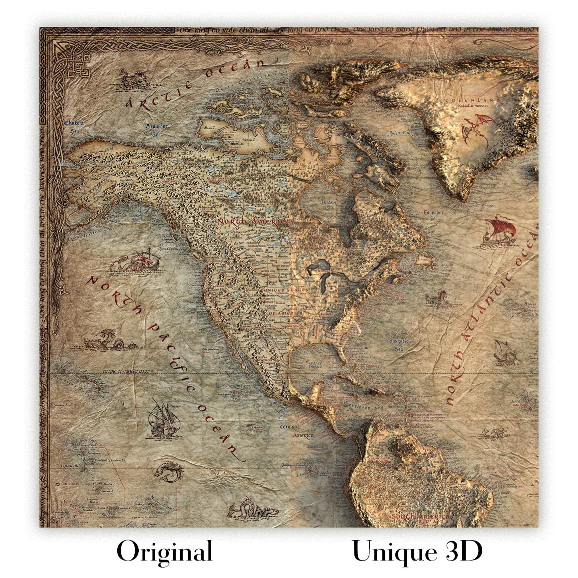
For something truly unique, this map is also available in "Unique 3D", our trademarked process that dramatically transforms the map so that it has a wonderful sense of depth. We combine the original map with detailed topography and elevation data, so that mountains and the terrain really "pop". For more info and examples of 3D maps, check my Unique 3D page.
Landforms of Illinois (1956) by James A. Bier, produced for the State Geological Survey, Department of Registration and Education for the State of Illinois, is a masterclass in scientific cartography. Grounded in U.S. Geological Survey topographic quadrangles, it distills a vast body of field knowledge into a lucid portrait of the Prairie State’s terrain. Administrative boundaries and named cities are interlaced with the deep-time story: drainage traces, landform profiles, spot heights, and a crisply drawn limit of glaciation reveal how ice, water, and time sculpted Illinois. The composition fuses clarity with authority, inviting both casual viewing and close study. As a historical document, it captures the state of mid‑century geological understanding while remaining a remarkably current guide to the lay of the land.
Bier’s draftsmanship is quintessentially mid‑20th‑century: intricate line work, firm yet lyrical hachures, and disciplined shading translate subtle relief into legible form. Contours and drainage networks read like musical notation, with the Mississippi and Illinois Rivers carrying the score while tributaries elaborate the theme. Spot heights punctuate the surface, orienting the eye to divides and basins. An inset of the state’s physiographic divisions functions as a key, framing the Till Plains, hill belts, and river lowlands so the main sheet’s textures fall instantly into place. Overprinted county lines and municipalities add a human frame of reference without overwhelming the geomorphology—a careful balance that reflects the Survey’s pedagogical mission and Bier’s precision, making the map equally at home in the seminar room and the connoisseur’s library.
The elegantly traced limit of glaciation is the narrative hinge of this composition. North and central Illinois appear as a quilt of moraines, outwash plains, and lakebeds—signatures of retreating ice—while beyond the line, older uplands emerge. In the far northwest, the rugged cuestas and ravines of the Driftless corner near Galena stand apart, their unplaned slopes dramatized by Bier’s shading. Southward, the Shawnee Hills rise as a sandstone stronghold above the surrounding lowlands, foreshadowing the confluence country at Cairo where the Ohio meets the Mississippi. Spot heights quietly fix extremes—from the uplifts around Charles Mound to the broad alluvial bottoms along the big rivers—while braided drainage shows how meltwater, then meandering streams, organized the prairie. The result is a coherent story of ice, rock, and flow.
Human settlement reads here as a patient response to topography and water. Chicago and its Cook County neighbors—Cicero, Evanston, Oak Park—align with the Lake Michigan shore and low divides that feed the Des Plaines and Chicago Rivers, while Waukegan perches on the lake‑front bluffs. West and southwest, Naperville and Lombard trace the DuPage system; Joliet anchors the Des Plaines as it bends toward the Illinois River, gateway to the state’s central artery. Belleville and Edwardsville rise on ground overlooking the American Bottom opposite St. Louis, where levees and terraces step up from the Mississippi’s floodplain. By overlaying administrative boundaries atop drainage and relief, Bier enables planners, historians, and naturalists to read industry, agriculture, and transport as outgrowths of valleys, moraines, and passes.
James A. Bier brings a scholar’s restraint and an artist’s eye to the page, shaping information into insight. Working with the State Geological Survey at a time when Illinois was modernizing at speed, he fused the precision of U.S. Geological Survey base quadrangles with interpretive clarity, producing a sheet that communicates across disciplines. Every symbol choice serves comprehension: rivers are expressive without clutter; towns guide orientation without dictating it; the physiographic inset distills theory into practice. The map endures as both a mid‑century statement of knowledge and a timeless key to landscape literacy. For geographers and historians, it is a primary source; for collectors, it is a quietly dazzling encapsulation of the forces—glacial, fluvial, and human—that made Illinois.
Cities and towns on this map
- Chicago
- Cicero
- Evanston
- Oak Park
- Naperville
- Lombard
- Waukegan
- Joliet
- Belleville
- Edwardsville
Notable Features & Landmarks
- Limit of Glaciation line
- Spot Heights
- Drainage Systems
- Administrative Boundaries
- Physiographic Divisions (inset)
- Major Rivers (e.g., Mississippi and Illinois Rivers)
- Towns and Cities
Historical and design context
- Map Name: Landforms of Illinois
- Creation Year: 1956
- Mapmaker: James A. Bier
- Publisher: State Geological Survey, Department of Registration and Education for the State of Illinois
- Based on U.S. Geological Survey topographic quadrangles
- Serves as a historical document and a resource for understanding Illinois’ physical geography
- Intricate mid-20th-century line work with shading and contour lines to depict varied terrain
Please double check the images to make sure that a specific town or place is shown on this map. You can also get in touch and ask us to check the map for you.
This map looks great at every size, but I always recommend going for a larger size if you have space. That way you can easily make out all of the details.
This map looks amazing at sizes all the way up to 100in (250cm). If you are looking for a larger map, please get in touch.
Please note: the labels on this map are hard to read if you order a map that is 16in (40cm) or smaller. The map is still very attractive, but if you would like to read the map easily, please buy a larger size.
This map is taller than most, which would make it a perfect statement piece in a panelled room, on a gallery wall, or perhaps alongside another tall piece of art or furniture.
The fifth listing image shows an example of my map personalisation service.
If you’re looking for something slightly different, check out my collection of the best old maps to see if something else catches your eye.
Please contact me to check if a certain location, landmark or feature is shown on this map.
This would make a wonderful birthday, Christmas, Father's Day, work leaving, anniversary or housewarming gift for someone from the areas covered by this map.
This map is available as a giclée print on acid free archival matte paper, or you can buy it framed. The frame is a nice, simple black frame that suits most aesthetics. Please get in touch if you'd like a different frame colour or material. My frames are glazed with super-clear museum-grade acrylic (perspex/acrylite), which is significantly less reflective than glass, safer, and will always arrive in perfect condition.
This map is also available as a float framed canvas, sometimes known as a shadow gap framed canvas or canvas floater. The map is printed on artist's cotton canvas and then stretched over a handmade box frame. We then "float" the canvas inside a wooden frame, which is available in a range of colours (black, dark brown, oak, antique gold and white). This is a wonderful way to present a map without glazing in front. See some examples of float framed canvas maps and explore the differences between my different finishes.
For something truly unique, this map is also available in "Unique 3D", our trademarked process that dramatically transforms the map so that it has a wonderful sense of depth. We combine the original map with detailed topography and elevation data, so that mountains and the terrain really "pop". For more info and examples of 3D maps, check my Unique 3D page.
Molte delle nostre mappe e stampe d'arte sono scelte come regali premurosi per case, uffici, studi e luoghi significativi.
Scegli un'opzione incorniciata per il regalo più semplice, pronto da appendere, oppure scegli una stampa non incorniciata se il destinatario preferisce selezionare la propria cornice.
Realizziamo gli ordini localmente in 24 paesi nel mondo, così i regali possono spesso essere prodotti vicino al destinatario. Questo aiuta a farli arrivare più rapidamente, viaggiare in modo più sicuro ed evitare sorprese legate a dogana o dazi d'importazione.
- Possiamo consegnare direttamente al destinatario. Non sono incluse informazioni sui prezzi.
- È possibile aggiungere un messaggio regalo al tuo ordine. Lo stamperemo su un elegante biglietto.
- I pezzi incorniciati arrivano pronti da appendere
- Le stampe non incorniciate sono imballate con cura in un resistente tubo protettivo
- Quasi ogni ordine viene realizzato localmente, per regali più rapidi e sicuri
- Il reso entro 90 giorni dà al destinatario il tempo di decidere
Se non sei sicuro di cosa scegliere, contattaci. Possiamo aiutarti a scegliere la mappa, il formato, la finitura o l'opzione di consegna più adatti.
Most orders are made locally and delivered in around 2–3 working days, depending on the product, size and destination.
We print and frame maps and artwork in 24 countries around the world, so your order is usually made close to you or your recipient. That means faster delivery, less time in transit, and no customs or import duty surprises.
Personalised and customised pieces usually take an extra 1–2 working days, because we prepare your design and send it to you for approval before printing.
Very large framed orders can take a little longer, as they need extra care in production and delivery.
Every order is carefully packaged: unframed prints are sent in a strong protective tube, while framed pieces are securely packed with protective materials around the frame.
If you need your order by a particular date, please contact us before ordering. We’ll check the best production route and delivery option for your location.
Express delivery is available at checkout for most countries. Next-day delivery is available in the UK, US, Singapore and the UAE.
Your order is covered by our 90-day returns policy and 10-year guarantee.
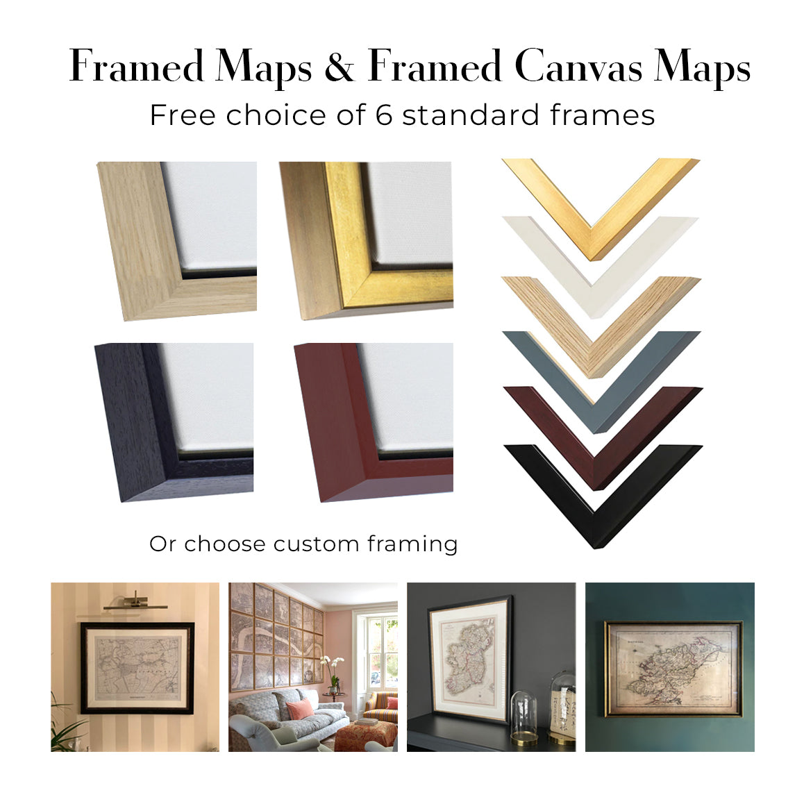
Our standard frame is a gallery-style black ash hardwood frame, with a simple, modern look. It is approximately 20mm (0.8in) wide. You can also view some lovely customer photos of framed maps and art.
We use super-clear acrylic glazing, also known as Perspex or Acrylite, instead of traditional glass. It is lighter, safer, and has lower reflectivity, giving the artwork a clearer, cleaner appearance.
Six standard frame colours are available at no extra cost: black, dark brown, dark grey, oak, white, and antique gold. Custom framing and mounting/matting is also available for customers looking for something more specific.
Most maps, art prints, and illustrations are also available as a framed canvas. We use matte cotton canvas, stretch it over a sustainably sourced wooden box frame, and then float the piece within a wooden outer frame. The finished result is beautifully presented, with no glazing between you and the artwork.
All frames are supplied ready to hang, with either string or brackets fitted to the back. Very large frames will include heavy-duty hanging plates and/or a mounting baton. If you have any questions, please get in touch.
We can also supply old maps and artwork on canvas, foam board, cotton rag, and other materials.
If you would prefer to frame your map or artwork yourself, please read our size guide before ordering.
Lavoriamo con interior designer, strutture ricettive, professionisti del settore immobiliare, uffici e acquirenti aziendali su singoli pezzi e su progetti coordinati di più ampia portata.
Questa mappa può essere adattata a una particolare parete, stanza o progetto, e il nostro laboratorio può aiutare a coordinare dimensioni, materiale e incorniciatura prima della produzione.
- Dimensioni precise, extra-large e su misura
- Incorniciatura, montaggio e materiali alternativi personalizzati
- Pezzi coordinati per più stanze o sedi
- Personalizzazione della mappa, per evidenziare luoghi importanti o aggiungere dettagli supplementari
- Consulenza su mappa e incorniciatura dal nostro laboratorio
- Produzione locale per progetti in tutto il mondo
Every Unique Maps piece begins with an authentic cartographic source or an original design from our London studio.
For our historic maps, we source rare originals from libraries, archives, auction houses and private collections around the world. We carefully restore each map for print—repairing age-related damage, balancing colour and improving clarity while preserving its original detail, texture and character.
Once restored, the map is prepared for your chosen size and finish. Your piece is then printed and, where selected, framed close to its delivery destination.
Our map prints use acid-free 200gsm archival matte paper and fade-resistant pigment inks, creating a rich, non-glossy finish designed to last. Framed maps use crystal-clear optical acrylic and arrive ready to hang.
Canvas, cotton-rag and other specialist presentations are also available. Learn more about our materials and finishes.
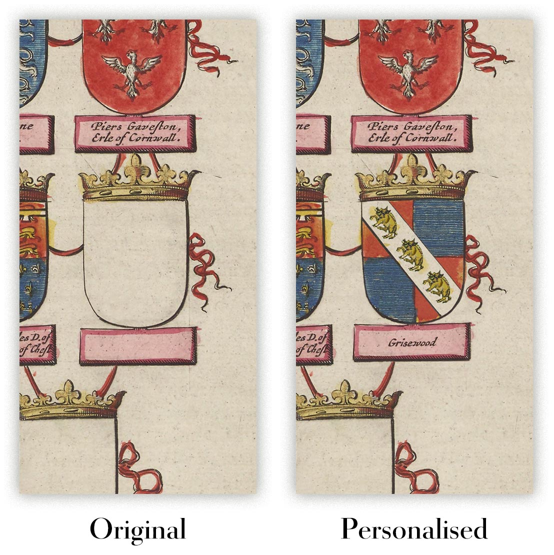
Personalising your map
You can add a short title or dedication, mark one meaningful place, or request one considered visual detail. For personalised designs, we send a proof before printing and you can request changes before approval.
For more complex bespoke commissions, contact our design team.
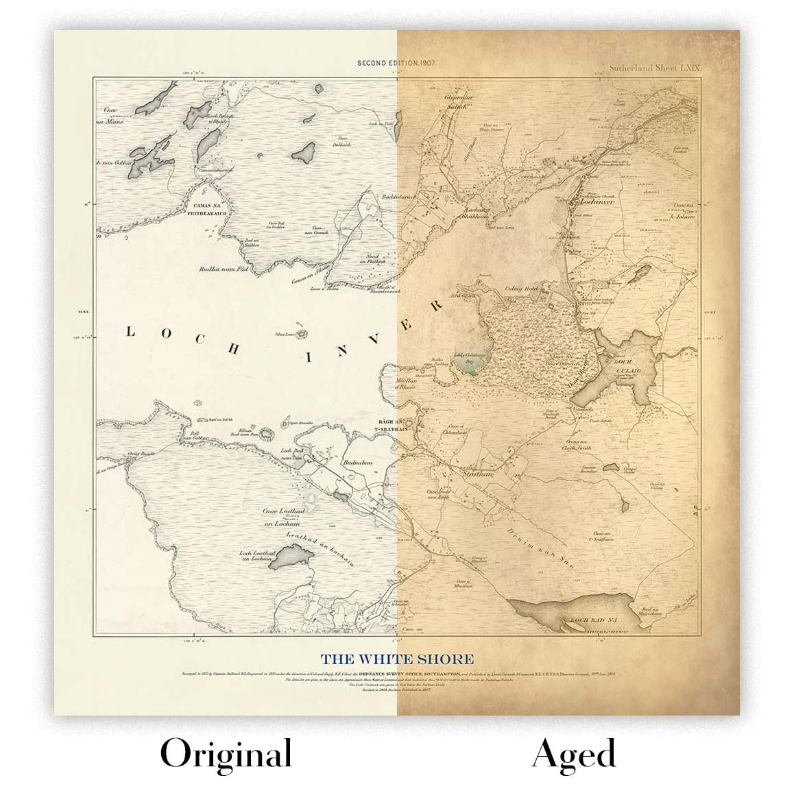
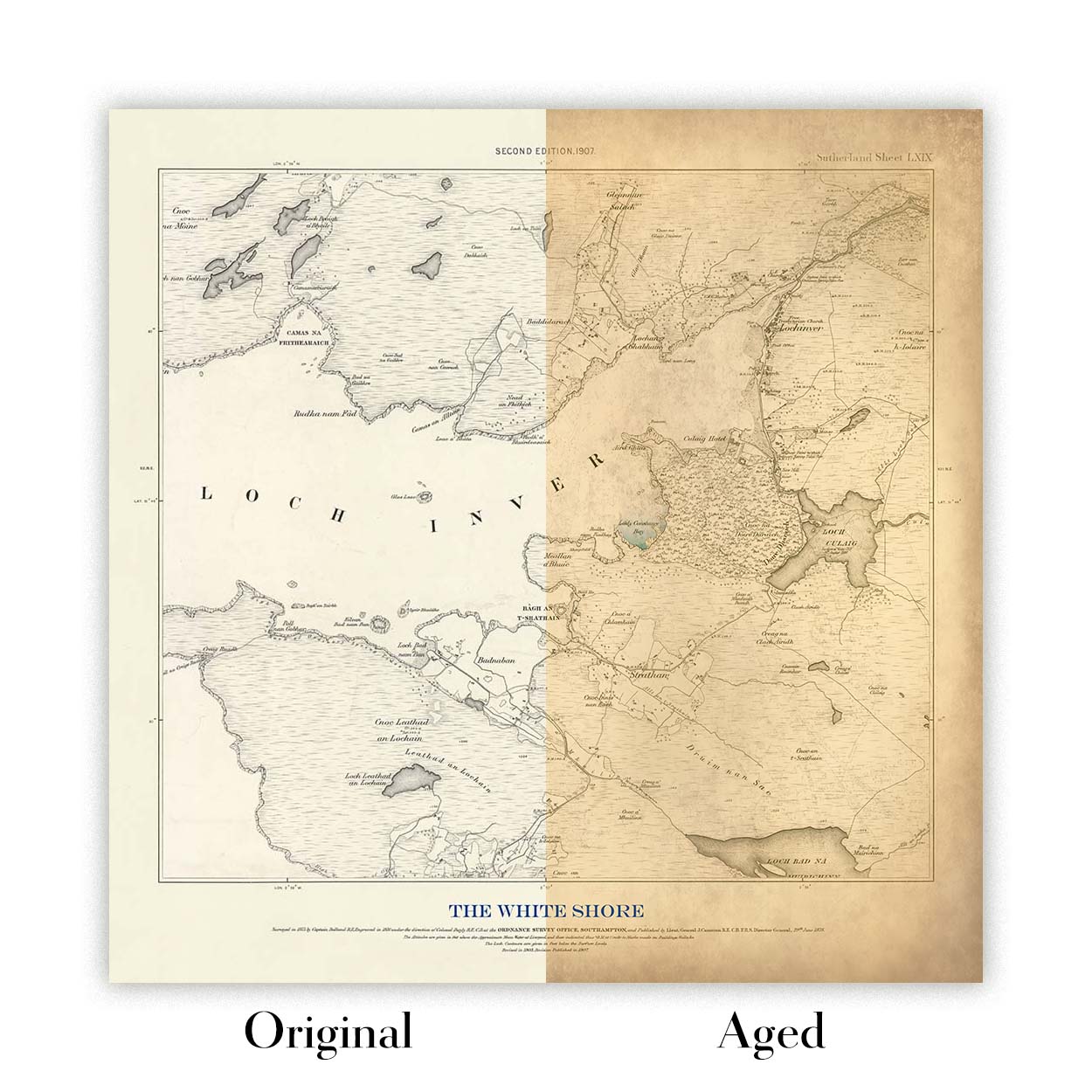
Original or Aged
Choose Original for true-to-source colour, or Aged for a warmer, richer antique character created with our specialist ageing process. See examples of our Aged maps.
Restauriamo e produciamo mappe e stampe d’arte dal 1984, e garantiamo personalmente ogni pezzo.
Ogni ordine è coperto dalla nostra garanzia di 10 anni e dalla garanzia di consegna senza danni. Se il vostro pezzo arriva danneggiato, lo sostituiremo o lo rifaremo gratuitamente. Se qualsiasi altro aspetto non fosse conforme, contattate il nostro team di laboratorio e provvederemo tempestivamente a risolvere il problema.
Per tutti i dettagli, consultate la nostra politica su resi e rimborsi.
Oppure cerca qualcosa nel negozio.


