












Rare Old Map of Quebec: Montreal by Rogers & Johnston, 1857: St Lawrence R., Ile d'Orleans, Isle Jesus, Quebec Basin, Vieux-Mtl
Consegna natalizia & regali

Invialo direttamente al destinatario
Aggiungi un messaggio regalo al carrello, quindi inserisci l’indirizzo di consegna del destinatario al checkout. Stamperemo il tuo messaggio su un biglietto. Nel pacco non sono inclusi prezzi.
Tempi di consegna
La consegna standard è gratuita in tutto il mondo e richiede solitamente circa 3 giorni lavorativi. Vuoi inviare un regalo all’estero? Realizziamo la maggior parte degli ordini localmente, nel paese del destinatario.
Per gli ordini personalizzati, prevedi tempi aggiuntivi per la progettazione e l’approvazione della bozza. Consulta i dettagli di consegna.
Resi: Gli ordini standard possono essere restituiti o cambiati entro 90 giorni dalla consegna. Gli articoli personalizzati e realizzati su misura sono generalmente esclusi dai resi per ripensamento. Consulta la nostra politica sui resi.
Saldi del Black Friday
Scegli un articolo e ottieni il 20% di sconto.
Scegli due opere e ricevi il 25% di sconto su entrambe. Puoi abbinare liberamente mappe e stampe d’arte.
Non è richiesto alcun codice. L’offerta viene applicata automaticamente.
Termini e condizioni completi
L’Offerta del Collezionista si applica alle opere idonee nelle configurazioni standard realizzate su ordinazione. Sono esclusi i formati su misura, i design personalizzati e i lavori su commissione. I prodotti con “personalised” o “custom” nel nome sono generalmente esclusi.
L’offerta viene gestita come due sconti automatici separati: uno per i formati più piccoli e uno per i formati più grandi. Per averne diritto, è necessario acquistare due opere idonee all’interno dello stesso gruppo di formato. Mappe e stampe d’arte possono essere liberamente abbinate all’interno di ciascun gruppo.
Ad esempio, due stampe idonee in formato A4 o 8 × 10 in danno diritto al 25% di sconto su entrambe. Una stampa di formato più piccolo e un’opera di formato più grande non danno diritto insieme allo sconto, poiché gli articoli di gruppi di formato diversi non possono essere combinati per soddisfare il requisito dei due articoli.
Non è richiesto alcun codice sconto. Qualsiasi sconto idoneo viene applicato automaticamente nel carrello e al checkout.
Scegli il formato
Scegli la finitura


(Maggiori informazioni)
Gift message & custom finish

If you want to add a gift message, or a finish (jigsaw, aluminium board, etc.) that is not available here, please request it in the "order note" when you check out.
Every order is custom made, so if you need the size adjusted slightly, or printed on an unusual material, just let us know. We've done thousands of custom orders over the years, so there's (almost) nothing we can't manage.
You can also contact us before you order, if you prefer!
- Prodotto in the UK. Consegna sicura
- Arriva perfetto, altrimenti lo sostituiamo
-
Consegna e regali di Natale Consegna natalizia & regali
![Visualizza un esempio a grandezza naturale del biglietto con messaggio regalo stampato]()
Invialo direttamente al destinatario
Aggiungi un messaggio regalo al carrello, quindi inserisci l’indirizzo di consegna del destinatario al checkout. Stamperemo il tuo messaggio su un biglietto. Nel pacco non sono inclusi prezzi.
Tempi di consegna
La consegna standard è gratuita in tutto il mondo e richiede solitamente circa 3 giorni lavorativi. Vuoi inviare un regalo all’estero? Realizziamo la maggior parte degli ordini localmente, nel paese del destinatario.
Per gli ordini personalizzati, prevedi tempi aggiuntivi per la progettazione e l’approvazione della bozza. Consulta i dettagli di consegna.
Resi: Gli ordini standard possono essere restituiti o cambiati entro 90 giorni dalla consegna. Gli articoli personalizzati e realizzati su misura sono generalmente esclusi dai resi per ripensamento. Consulta la nostra politica sui resi.
- Serve aiuto per ordinare?
La parola ai nostri clienti
Oltre 8.000 recensioni a cinque stelle da tutto il mondo


Quebec and Montreal, engraved in 1857 by Henry Darwin Rogers and Alexander Keith Johnston and issued by John Murray in London with...
Continua a leggereQuebec and Montreal, engraved in 1857 by Henry Darwin Rogers and Alexander Keith Johnston and issued by John Murray in London with W. & A.K. Johnston in Edinburgh, is a rare dual portrait of Canada’s principal French-speaking cities at a decisive mid-19th‑century moment. The composition sets each city within a refined oval, anchoring them on the great artery of the St. Lawrence River and revealing how topography and water shaped civic life. Streets, wards, and riverfronts are crisply named, while the pastel tonalities guide the eye from port basins to rising coteaus. As a city map, it is notable for juxtaposing two urban organisms on the same scale of scrutiny, letting viewers compare their distinct forms, ambitions, and constraints just before Confederation transformed their horizons.
On the Quebec plan, the city still clusters tightly around its fortified promontory, where Upper Town and Lower Town meet above the bustling Basin of Quebec. The escarpment’s drama is legible in the ascent of Côte du Palais and the outward roads—Côte de Lévis, Côte de Beaupré, Côte du Sud, and Côte de la Rivière—radiating parish and market life into the surrounding countryside. Along the riverfront, Cours de la Reine signals a planned, ceremonial edge, while Rue St. Louis, Rue St. Anne, Rue du Palais, and Rue du Fort knit the administrative and religious core. Beyond, Île d’Orléans (Isle of Orleans) presides as the agricultural cradle of New France, its placement underscoring how Quebec’s security, commerce, and culture hinged on the St. Lawrence’s tides.
Montreal appears as a compact mercantile city occupying only a fraction of its island, its stone spine aligned to the port and Vieux‑Montréal. The map captures the city’s early industrial waterfront at Rue du Havre and Wellington Street, balanced by civic emergence around Square Victoria. Inland, Boulevard St. Laurent and Rue St. Denis trace the axes of expansion, while Rue de la Montagne and Rue du Fort climb toward the slopes that would host fashionable suburbs. Rural cotes such as Cote St. Michel still lie close at hand, signalling how fields and faubourgs interpenetrated the edge. The St. Lawrence dominates every prospect; to the north, Isle Jesus reminds the viewer that Montreal’s destiny was written in islands, channels, and ferries long before bridges redefined the skyline.
Cultural geography gives the sheet its voice. Predominantly French toponyms—Rue des Écoles, Rue des Marchands, Rue des Sœurs, Rue St. Michel, Rue du Prince—sit beside older English spellings like “Isle Jesus” and “Isle of Orleans,” revealing a bilingual cartography in flux. The map’s careful plotting of thoroughfares such as Rue St. Laurent and Chemin St. Joseph shows how parish roads hardened into urban boulevards, while nodes like Square Victoria and the Quebec basin disclose where commerce, ceremony, and migration converged. By fixing both cities in mid‑growth—Montreal pushing north and west from the port, Quebec constrained to its historic cape—the plan becomes a study in how language, law, and landscape combined to shape two identities along one river.
Henry Darwin Rogers, a pioneering geologist and surveyor, brought scientific rigor to the enterprise; his training in stratigraphy and regional mapping lent the plans a disciplined sense of relief, drainage, and route hierarchy. Alexander Keith Johnston, among the century’s most celebrated Scottish cartographers, supplied the lucid urban engraving and toponymic order that made his National and Physical atlases benchmarks of clarity. Issued under the distinguished imprints of John Murray and W. & A.K. Johnston, this collaboration fuses physical and political vision. As a city map, it excels not merely by listing streets but by situating two capitals of commerce and culture within the St. Lawrence system, capturing the precise moment when canals, roads, and waterfronts began to recast their futures.
Streets and roads on this map
- Avenue des Canadiens
- Boulevard St. Laurent
- Côte d’Ávril
- Côte de Beaupré
- Côte de la Rivière
- Côte de Levis
- Côte du Palais
- Côte du Sud
- Cours de la Reine
- Chemin St. Joseph
- Rue St. Anne
- Rue St. Denis
- Rue St. Laurent
- Rue St. Louis
- Rue St. Michel
- Rue Trudeau
- Rue des Écoles
- Rue des Marchands
- Rue des Sœurs
- Rue de la Montagne
- Rue de l'Université
- Rue d'Iberville
- Rue du Fort
- Rue du Havre
- Rue du Palais
- Rue du Prince
- Square Victoria
- Turnpike Road
- Vieux-Montréal
- Wellington Street
Notable Features & Landmarks
- Basin of Quebec
- Cote St. Michel
- Cote St. Réal
- Ile d'Orléans
- Isle Jesus
- Montreal
- Quebec
- St. Lawrence River
Historical and design context
- Date: 1857
- Historical Context: The map illustrates a period when both cities were expanding but still had distinct and far more limited boundaries compared to today.
- Language: The cities represented are predominantly French-speaking, depicting their unique cultural context in relation to the rest of Canada.
- Themes: Urban development, historical geography, and cultural identity are central themes. The growth of Montreal is notable, as it occupies a smaller portion of its present island, while Quebec is confined to its historic district.
- Geographic Focus: The map shows key areas in the Canadian provinces of Quebec, emphasizing both urbanization (Montreal) and historical significance (Quebec). The St. Lawrence River features prominently.
- Design Style: The map utilizes an oval design for each city, providing a distinctive visual representation. It employs a pastel color palette typical of the period, highlighting features while maintaining clarity.
- Significance: The map serves as a historical document, depicting urban layouts and developmental stages of two major Canadian cities during a crucial phase of growth.
Please double check the images to make sure that a specific town or place is shown on this map. You can also get in touch and ask us to check the map for you.
This map looks great at every size, but I always recommend going for a larger size if you have space. That way you can easily make out all of the details.
This map looks amazing at sizes all the way up to 50in (125cm). If you are looking for a larger map, please get in touch.
The model in the listing images is holding the 18x24in (45x60cm) version of this map.
The fifth listing image shows an example of my map personalisation service.
If you’re looking for something slightly different, check out my collection of the best old maps to see if something else catches your eye.
Please contact me to check if a certain location, landmark or feature is shown on this map.
This would make a wonderful birthday, Christmas, Father's Day, work leaving, anniversary or housewarming gift for someone from the areas covered by this map.
This map is available as a giclée print on acid free archival matte paper, or you can buy it framed. The frame is a nice, simple black frame that suits most aesthetics. Please get in touch if you'd like a different frame colour or material. My frames are glazed with super-clear museum-grade acrylic (perspex/acrylite), which is significantly less reflective than glass, safer, and will always arrive in perfect condition.
This map is also available as a float framed canvas, sometimes known as a shadow gap framed canvas or canvas floater. The map is printed on artist's cotton canvas and then stretched over a handmade box frame. We then "float" the canvas inside a wooden frame, which is available in a range of colours (black, dark brown, oak, antique gold and white). This is a wonderful way to present a map without glazing in front. See some examples of float framed canvas maps and explore the differences between my different finishes.
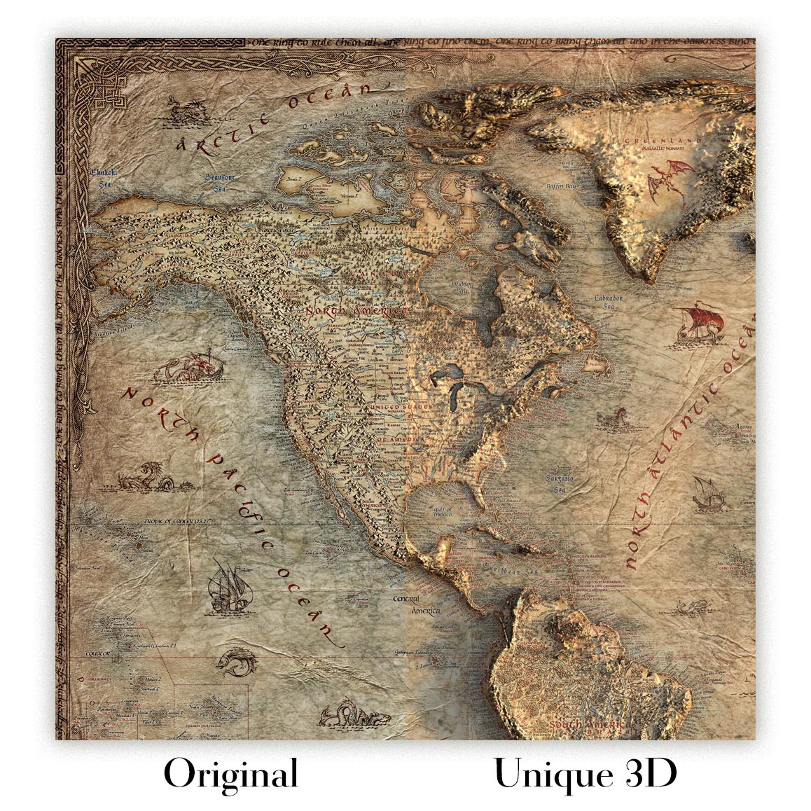
For something truly unique, this map is also available in "Unique 3D", our trademarked process that dramatically transforms the map so that it has a wonderful sense of depth. We combine the original map with detailed topography and elevation data, so that mountains and the terrain really "pop". For more info and examples of 3D maps, check my Unique 3D page.
Quebec and Montreal, engraved in 1857 by Henry Darwin Rogers and Alexander Keith Johnston and issued by John Murray in London with W. & A.K. Johnston in Edinburgh, is a rare dual portrait of Canada’s principal French-speaking cities at a decisive mid-19th‑century moment. The composition sets each city within a refined oval, anchoring them on the great artery of the St. Lawrence River and revealing how topography and water shaped civic life. Streets, wards, and riverfronts are crisply named, while the pastel tonalities guide the eye from port basins to rising coteaus. As a city map, it is notable for juxtaposing two urban organisms on the same scale of scrutiny, letting viewers compare their distinct forms, ambitions, and constraints just before Confederation transformed their horizons.
On the Quebec plan, the city still clusters tightly around its fortified promontory, where Upper Town and Lower Town meet above the bustling Basin of Quebec. The escarpment’s drama is legible in the ascent of Côte du Palais and the outward roads—Côte de Lévis, Côte de Beaupré, Côte du Sud, and Côte de la Rivière—radiating parish and market life into the surrounding countryside. Along the riverfront, Cours de la Reine signals a planned, ceremonial edge, while Rue St. Louis, Rue St. Anne, Rue du Palais, and Rue du Fort knit the administrative and religious core. Beyond, Île d’Orléans (Isle of Orleans) presides as the agricultural cradle of New France, its placement underscoring how Quebec’s security, commerce, and culture hinged on the St. Lawrence’s tides.
Montreal appears as a compact mercantile city occupying only a fraction of its island, its stone spine aligned to the port and Vieux‑Montréal. The map captures the city’s early industrial waterfront at Rue du Havre and Wellington Street, balanced by civic emergence around Square Victoria. Inland, Boulevard St. Laurent and Rue St. Denis trace the axes of expansion, while Rue de la Montagne and Rue du Fort climb toward the slopes that would host fashionable suburbs. Rural cotes such as Cote St. Michel still lie close at hand, signalling how fields and faubourgs interpenetrated the edge. The St. Lawrence dominates every prospect; to the north, Isle Jesus reminds the viewer that Montreal’s destiny was written in islands, channels, and ferries long before bridges redefined the skyline.
Cultural geography gives the sheet its voice. Predominantly French toponyms—Rue des Écoles, Rue des Marchands, Rue des Sœurs, Rue St. Michel, Rue du Prince—sit beside older English spellings like “Isle Jesus” and “Isle of Orleans,” revealing a bilingual cartography in flux. The map’s careful plotting of thoroughfares such as Rue St. Laurent and Chemin St. Joseph shows how parish roads hardened into urban boulevards, while nodes like Square Victoria and the Quebec basin disclose where commerce, ceremony, and migration converged. By fixing both cities in mid‑growth—Montreal pushing north and west from the port, Quebec constrained to its historic cape—the plan becomes a study in how language, law, and landscape combined to shape two identities along one river.
Henry Darwin Rogers, a pioneering geologist and surveyor, brought scientific rigor to the enterprise; his training in stratigraphy and regional mapping lent the plans a disciplined sense of relief, drainage, and route hierarchy. Alexander Keith Johnston, among the century’s most celebrated Scottish cartographers, supplied the lucid urban engraving and toponymic order that made his National and Physical atlases benchmarks of clarity. Issued under the distinguished imprints of John Murray and W. & A.K. Johnston, this collaboration fuses physical and political vision. As a city map, it excels not merely by listing streets but by situating two capitals of commerce and culture within the St. Lawrence system, capturing the precise moment when canals, roads, and waterfronts began to recast their futures.
Streets and roads on this map
- Avenue des Canadiens
- Boulevard St. Laurent
- Côte d’Ávril
- Côte de Beaupré
- Côte de la Rivière
- Côte de Levis
- Côte du Palais
- Côte du Sud
- Cours de la Reine
- Chemin St. Joseph
- Rue St. Anne
- Rue St. Denis
- Rue St. Laurent
- Rue St. Louis
- Rue St. Michel
- Rue Trudeau
- Rue des Écoles
- Rue des Marchands
- Rue des Sœurs
- Rue de la Montagne
- Rue de l'Université
- Rue d'Iberville
- Rue du Fort
- Rue du Havre
- Rue du Palais
- Rue du Prince
- Square Victoria
- Turnpike Road
- Vieux-Montréal
- Wellington Street
Notable Features & Landmarks
- Basin of Quebec
- Cote St. Michel
- Cote St. Réal
- Ile d'Orléans
- Isle Jesus
- Montreal
- Quebec
- St. Lawrence River
Historical and design context
- Date: 1857
- Historical Context: The map illustrates a period when both cities were expanding but still had distinct and far more limited boundaries compared to today.
- Language: The cities represented are predominantly French-speaking, depicting their unique cultural context in relation to the rest of Canada.
- Themes: Urban development, historical geography, and cultural identity are central themes. The growth of Montreal is notable, as it occupies a smaller portion of its present island, while Quebec is confined to its historic district.
- Geographic Focus: The map shows key areas in the Canadian provinces of Quebec, emphasizing both urbanization (Montreal) and historical significance (Quebec). The St. Lawrence River features prominently.
- Design Style: The map utilizes an oval design for each city, providing a distinctive visual representation. It employs a pastel color palette typical of the period, highlighting features while maintaining clarity.
- Significance: The map serves as a historical document, depicting urban layouts and developmental stages of two major Canadian cities during a crucial phase of growth.
Please double check the images to make sure that a specific town or place is shown on this map. You can also get in touch and ask us to check the map for you.
This map looks great at every size, but I always recommend going for a larger size if you have space. That way you can easily make out all of the details.
This map looks amazing at sizes all the way up to 50in (125cm). If you are looking for a larger map, please get in touch.
The model in the listing images is holding the 18x24in (45x60cm) version of this map.
The fifth listing image shows an example of my map personalisation service.
If you’re looking for something slightly different, check out my collection of the best old maps to see if something else catches your eye.
Please contact me to check if a certain location, landmark or feature is shown on this map.
This would make a wonderful birthday, Christmas, Father's Day, work leaving, anniversary or housewarming gift for someone from the areas covered by this map.
This map is available as a giclée print on acid free archival matte paper, or you can buy it framed. The frame is a nice, simple black frame that suits most aesthetics. Please get in touch if you'd like a different frame colour or material. My frames are glazed with super-clear museum-grade acrylic (perspex/acrylite), which is significantly less reflective than glass, safer, and will always arrive in perfect condition.
This map is also available as a float framed canvas, sometimes known as a shadow gap framed canvas or canvas floater. The map is printed on artist's cotton canvas and then stretched over a handmade box frame. We then "float" the canvas inside a wooden frame, which is available in a range of colours (black, dark brown, oak, antique gold and white). This is a wonderful way to present a map without glazing in front. See some examples of float framed canvas maps and explore the differences between my different finishes.
For something truly unique, this map is also available in "Unique 3D", our trademarked process that dramatically transforms the map so that it has a wonderful sense of depth. We combine the original map with detailed topography and elevation data, so that mountains and the terrain really "pop". For more info and examples of 3D maps, check my Unique 3D page.
Molte delle nostre mappe e stampe d'arte sono scelte come regali premurosi per case, uffici, studi e luoghi significativi.
Scegli un'opzione incorniciata per il regalo più semplice, pronto da appendere, oppure scegli una stampa non incorniciata se il destinatario preferisce selezionare la propria cornice.
Realizziamo gli ordini localmente in 24 paesi nel mondo, così i regali possono spesso essere prodotti vicino al destinatario. Questo aiuta a farli arrivare più rapidamente, viaggiare in modo più sicuro ed evitare sorprese legate a dogana o dazi d'importazione.
- Possiamo consegnare direttamente al destinatario. Non sono incluse informazioni sui prezzi.
- È possibile aggiungere un messaggio regalo al tuo ordine. Lo stamperemo su un elegante biglietto.
- I pezzi incorniciati arrivano pronti da appendere
- Le stampe non incorniciate sono imballate con cura in un resistente tubo protettivo
- Quasi ogni ordine viene realizzato localmente, per regali più rapidi e sicuri
- Il reso entro 90 giorni dà al destinatario il tempo di decidere
Se non sei sicuro di cosa scegliere, contattaci. Possiamo aiutarti a scegliere la mappa, il formato, la finitura o l'opzione di consegna più adatti.
Most orders are made locally and delivered in around 2–3 working days, depending on the product, size and destination.
We print and frame maps and artwork in 24 countries around the world, so your order is usually made close to you or your recipient. That means faster delivery, less time in transit, and no customs or import duty surprises.
Personalised and customised pieces usually take an extra 1–2 working days, because we prepare your design and send it to you for approval before printing.
Very large framed orders can take a little longer, as they need extra care in production and delivery.
Every order is carefully packaged: unframed prints are sent in a strong protective tube, while framed pieces are securely packed with protective materials around the frame.
If you need your order by a particular date, please contact us before ordering. We’ll check the best production route and delivery option for your location.
Express delivery is available at checkout for most countries. Next-day delivery is available in the UK, US, Singapore and the UAE.
Your order is covered by our 90-day returns policy and 10-year guarantee.
Our standard frame is a gallery-style black ash hardwood frame, with a simple, modern look. It is approximately 20mm (0.8in) wide. You can also view some lovely customer photos of framed maps and art.
We use super-clear acrylic glazing, also known as Perspex or Acrylite, instead of traditional glass. It is lighter, safer, and has lower reflectivity, giving the artwork a clearer, cleaner appearance.
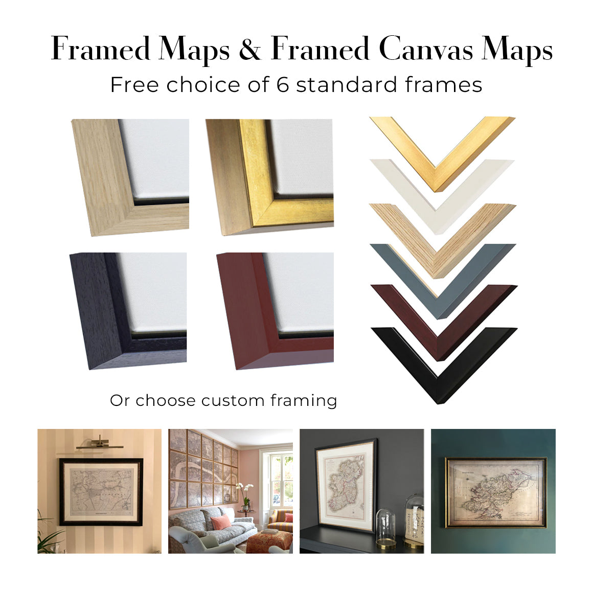
Six standard frame colours are available at no extra cost: black, dark brown, dark grey, oak, white, and antique gold. Custom framing and mounting/matting is also available for customers looking for something more specific.
Most maps, art prints, and illustrations are also available as a framed canvas. We use matte cotton canvas, stretch it over a sustainably sourced wooden box frame, and then float the piece within a wooden outer frame. The finished result is beautifully presented, with no glazing between you and the artwork.
All frames are supplied ready to hang, with either string or brackets fitted to the back. Very large frames will include heavy-duty hanging plates and/or a mounting baton. If you have any questions, please get in touch.
We can also supply old maps and artwork on canvas, foam board, cotton rag, and other materials.
If you would prefer to frame your map or artwork yourself, please read our size guide before ordering.
Lavoriamo con interior designer, strutture ricettive, professionisti del settore immobiliare, uffici e acquirenti aziendali su singoli pezzi e su progetti coordinati di più ampia portata.
Questa mappa può essere adattata a una particolare parete, stanza o progetto, e il nostro laboratorio può aiutare a coordinare dimensioni, materiale e incorniciatura prima della produzione.
- Dimensioni precise, extra-large e su misura
- Incorniciatura, montaggio e materiali alternativi personalizzati
- Pezzi coordinati per più stanze o sedi
- Personalizzazione della mappa, per evidenziare luoghi importanti o aggiungere dettagli supplementari
- Consulenza su mappa e incorniciatura dal nostro laboratorio
- Produzione locale per progetti in tutto il mondo
Every Unique Maps piece begins with an authentic cartographic source or an original design from our London studio.
For our historic maps, we source rare originals from libraries, archives, auction houses and private collections around the world. We carefully restore each map for print—repairing age-related damage, balancing colour and improving clarity while preserving its original detail, texture and character.
Once restored, the map is prepared for your chosen size and finish. Your piece is then printed and, where selected, framed close to its delivery destination.
Our map prints use acid-free 200gsm archival matte paper and fade-resistant pigment inks, creating a rich, non-glossy finish designed to last. Framed maps use crystal-clear optical acrylic and arrive ready to hang.
Canvas, cotton-rag and other specialist presentations are also available. Learn more about our materials and finishes.
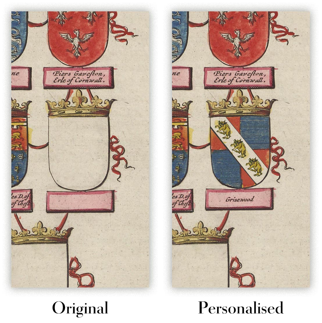
Personalising your map
You can add a short title or dedication, mark one meaningful place, or request one considered visual detail. For personalised designs, we send a proof before printing and you can request changes before approval.
For more complex bespoke commissions, contact our design team.
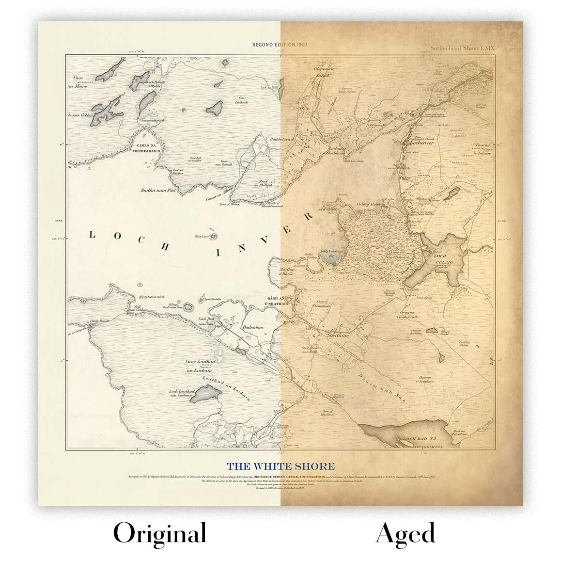
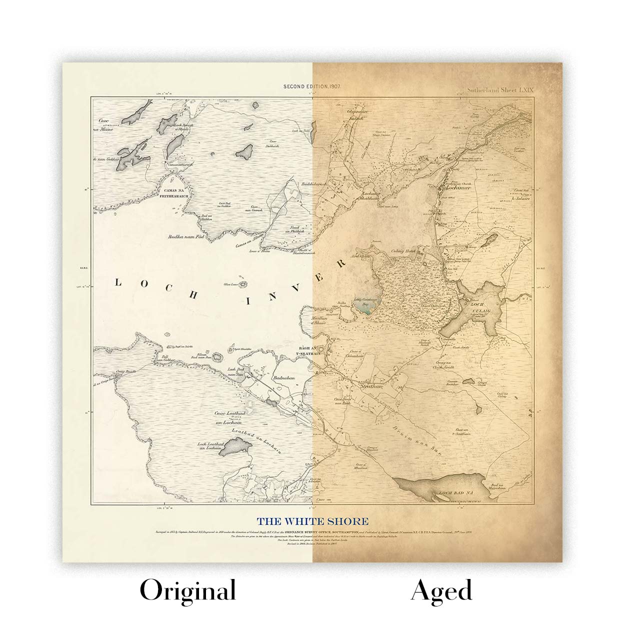
Original or Aged
Choose Original for true-to-source colour, or Aged for a warmer, richer antique character created with our specialist ageing process. See examples of our Aged maps.
Restauriamo e produciamo mappe e stampe d’arte dal 1984, e garantiamo personalmente ogni pezzo.
Ogni ordine è coperto dalla nostra garanzia di 10 anni e dalla garanzia di consegna senza danni. Se il vostro pezzo arriva danneggiato, lo sostituiremo o lo rifaremo gratuitamente. Se qualsiasi altro aspetto non fosse conforme, contattate il nostro team di laboratorio e provvederemo tempestivamente a risolvere il problema.
Per tutti i dettagli, consultate la nostra politica su resi e rimborsi.
Oppure cerca qualcosa nel negozio.


